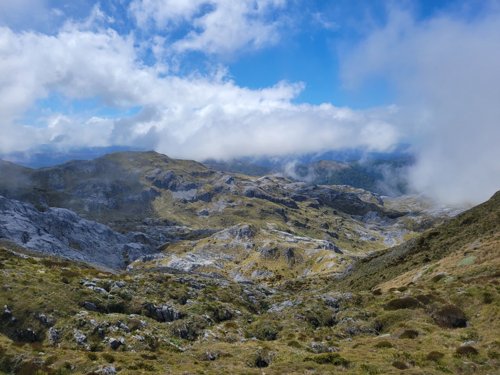
Queenstown and Glenorchy

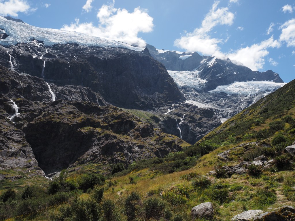
This past week and a half has been a bit of a “where has the time gone” type of stretch. I spent another couple of days in Wanaka – the bike ride was beautiful, I took a day to rest, did more laundry, and looked into what to do next. Somewhere in there I hiked the Rob Roy glacier track. I’ll be honest, maybe the hikes are just coming too thick and fast these days, but I don’t remember it that well! The pictures I’m now looking through, a bit bewildered, are nice though.

After Wanaka I crossed the Crown Range to Queenstown, a gorgeous (if very slow in my van) drive through the mountains. Queenstown felt very much like a slightly bigger Wanaka. Still a very small resort/vacation town (population 16,000!) set on a beautiful lake with striking mountains all around. Very touristy, full of people visiting, with lots of activities to do. I spent a couple of days doing some restocking and hiked the Ben Lomond trail, which leaves right out of town. My hike was… just ok. I was tired and it was a cloudy, rainy day, so that certainly didn’t help. But the first part of the trail is through an adventure eco-park type thing where you’re walking under ziplines and then are eventually routed through the massive restaurant/gift shop/tram complex. On top of that, the whole thing was very much under construction, which was both ugly and loud. Once you’re past that monstrosity it’s a much more peaceful and beautiful hike, but unfortunately the weather didn’t cooperate. I went past the saddle and a bit of the ways up to the summit, but the rain was getting stronger and I was literally walking into a cloud, so I decided that was enough for the day and headed back down. I don’t think I took a single photo. You win some, you lose some.

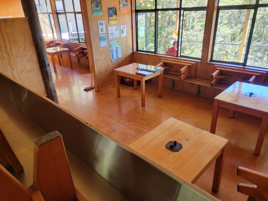
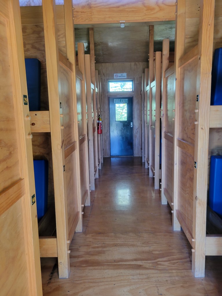
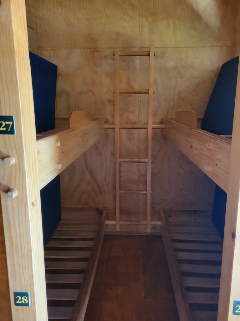
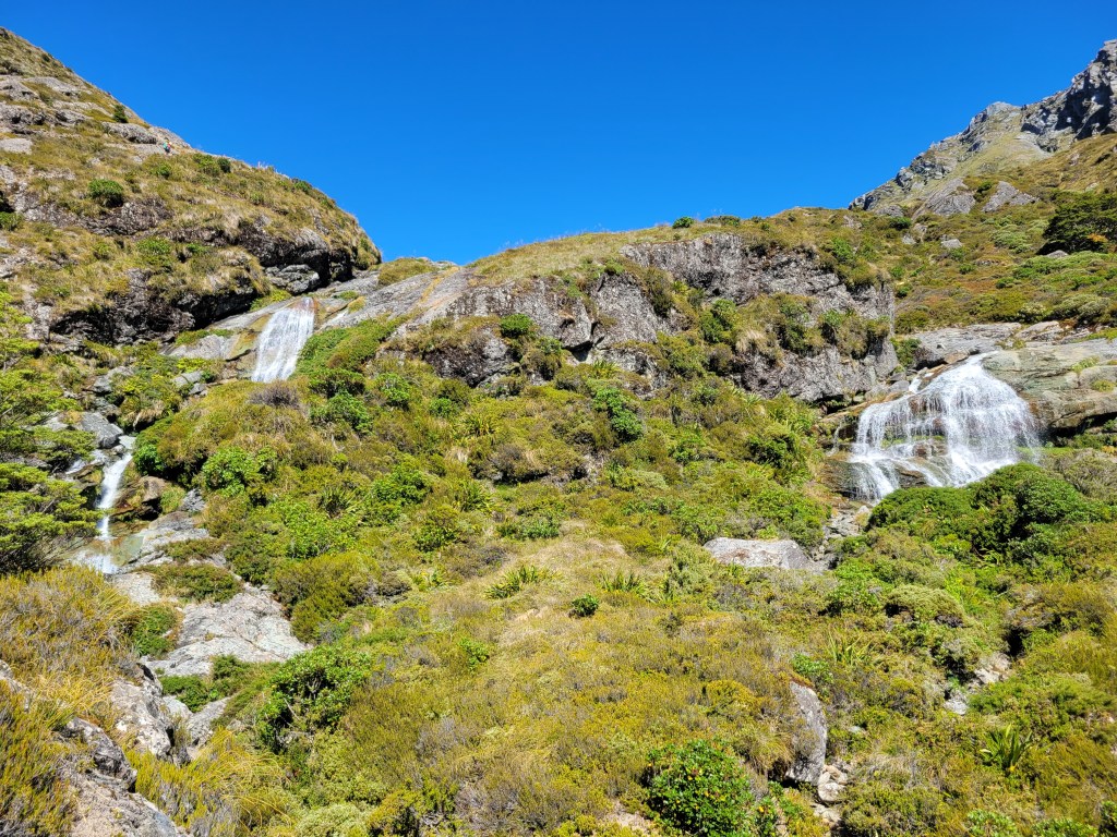
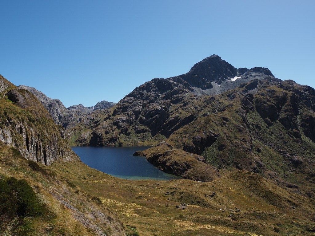
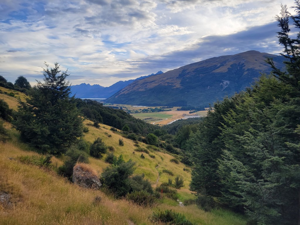
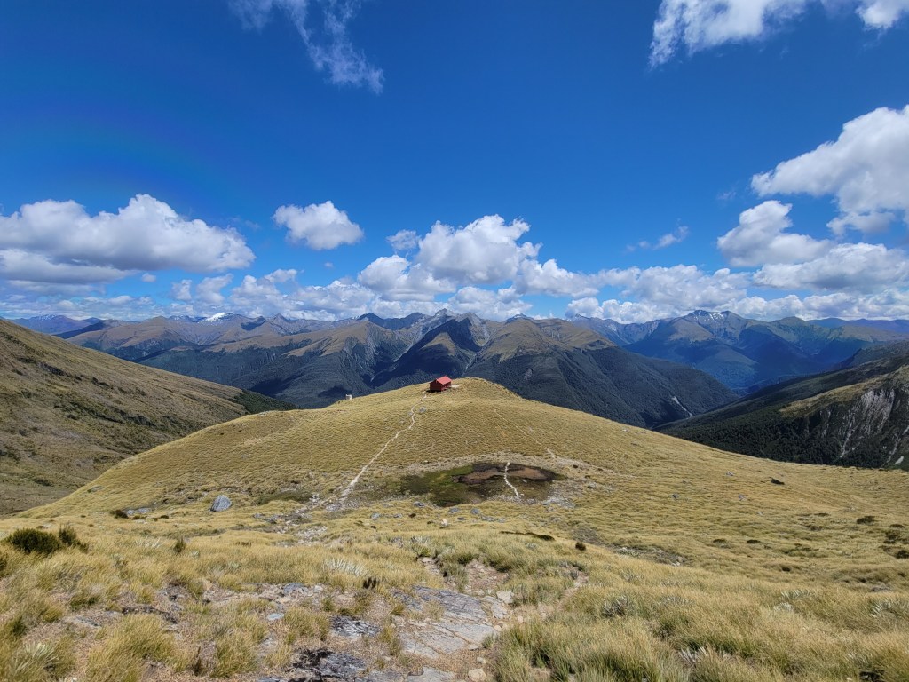
Next I lined up some hikes in the Glenorchy area. Glenorchy is a village about an hour northwest of Queenstown along Lake Wakatipu. There’s very little here, it mostly just serves as a staging area to get into the wilderness beyond. One of the Great Walks, the Routeburn Track, starts close to here, and it’s a very heavily trafficked area. My first day after getting over here I hiked a portion of the Routeburn, about 15km in to Harris Saddle and Conical Hill (which didn’t seem especially conical to me). It was nice, but for whatever reason I didn’t find the scenery especially striking. I did get to see a top of the line example of one of New Zealand’s famous “wilderness huts”, which are really more like full on hostels if you ask me. This one accommodated 50 people, had flush toilets and gas stoves, and generally seemed pretty deluxe. And that was the “roughing it” option, since there’s also a private company that takes tours of 20+ people along the Routeburn, staying in their lodges with catered meals, showers, alcohol sales, and who knows what else. Deluxe!

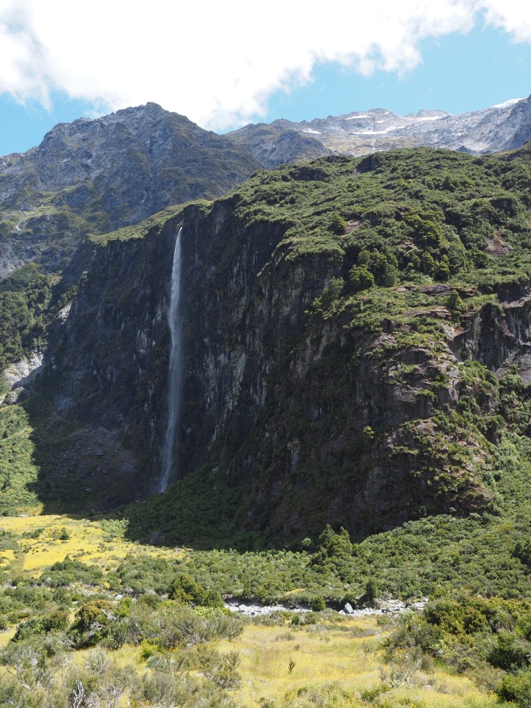
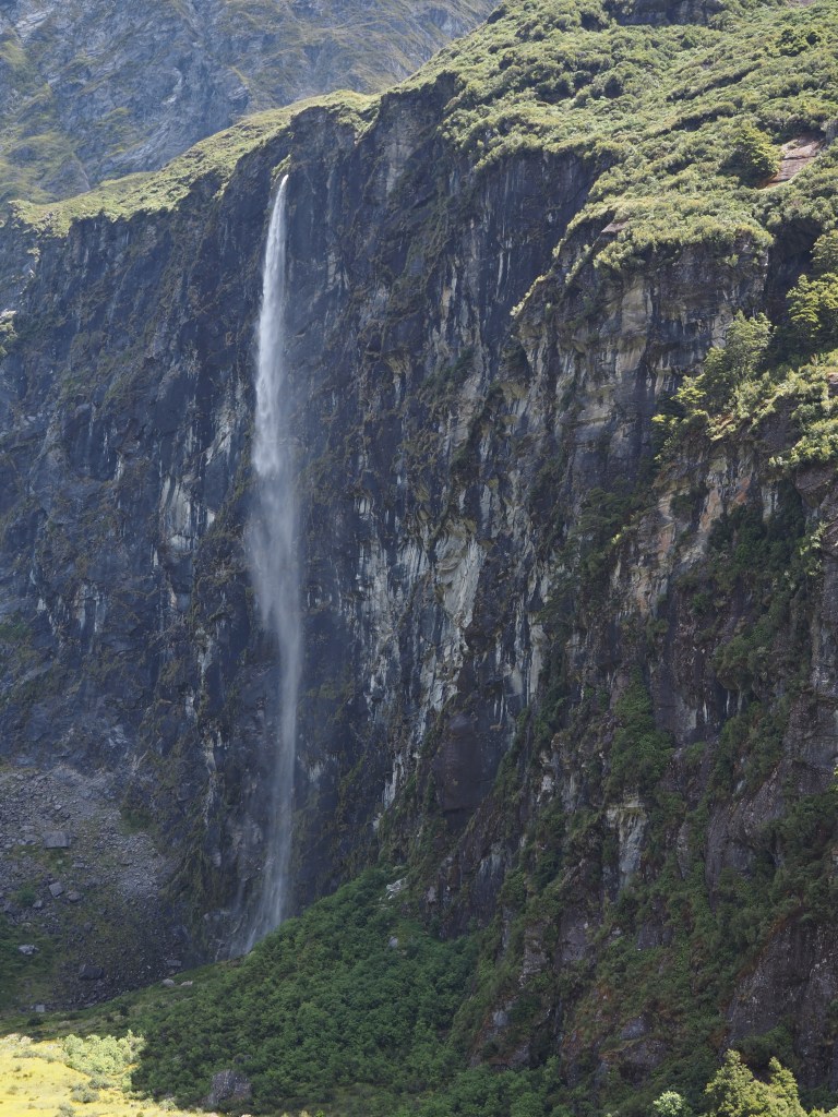
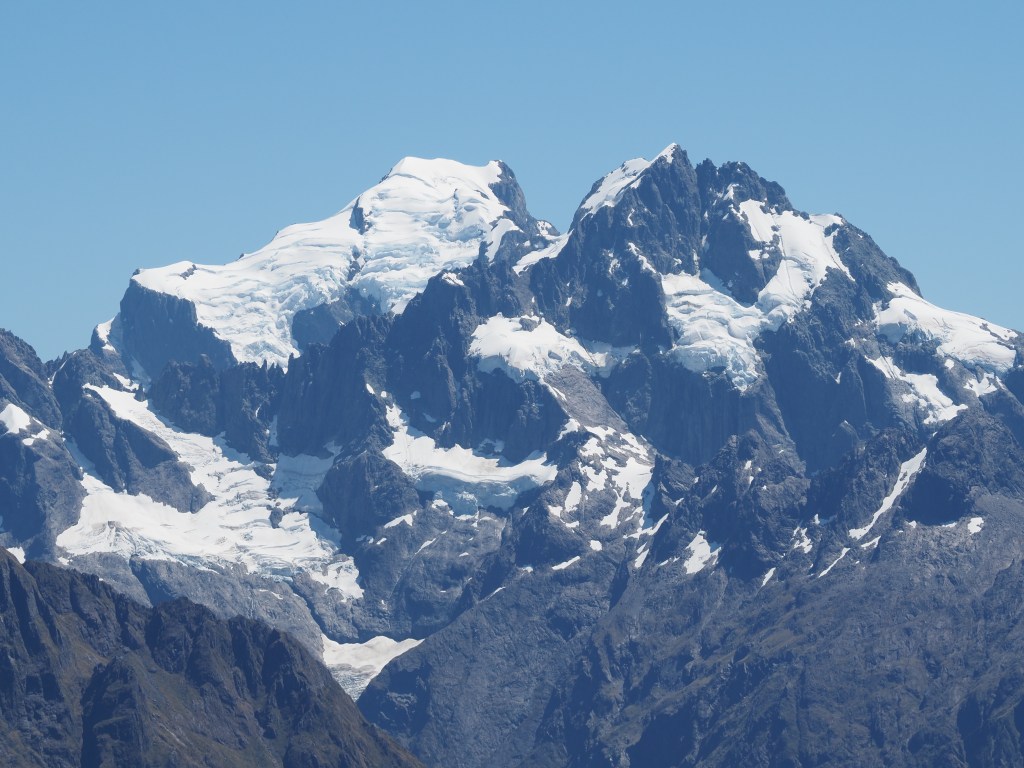
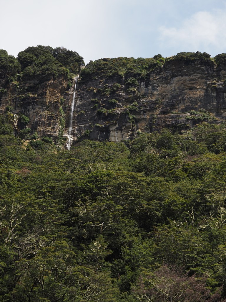
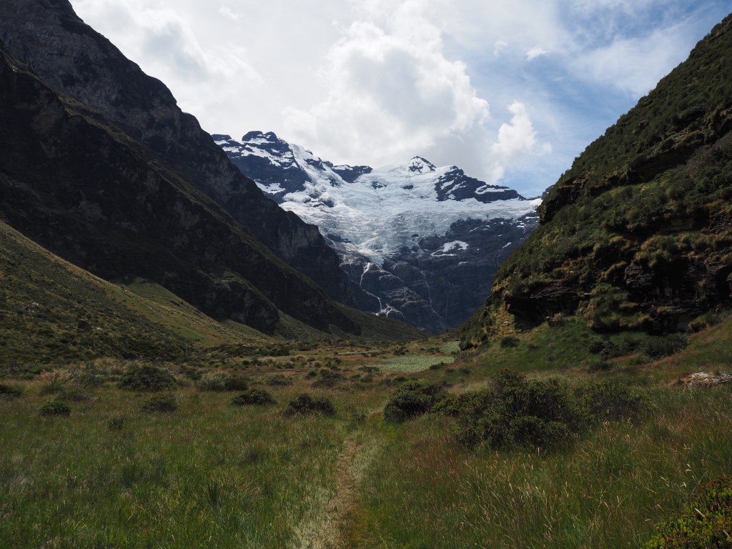
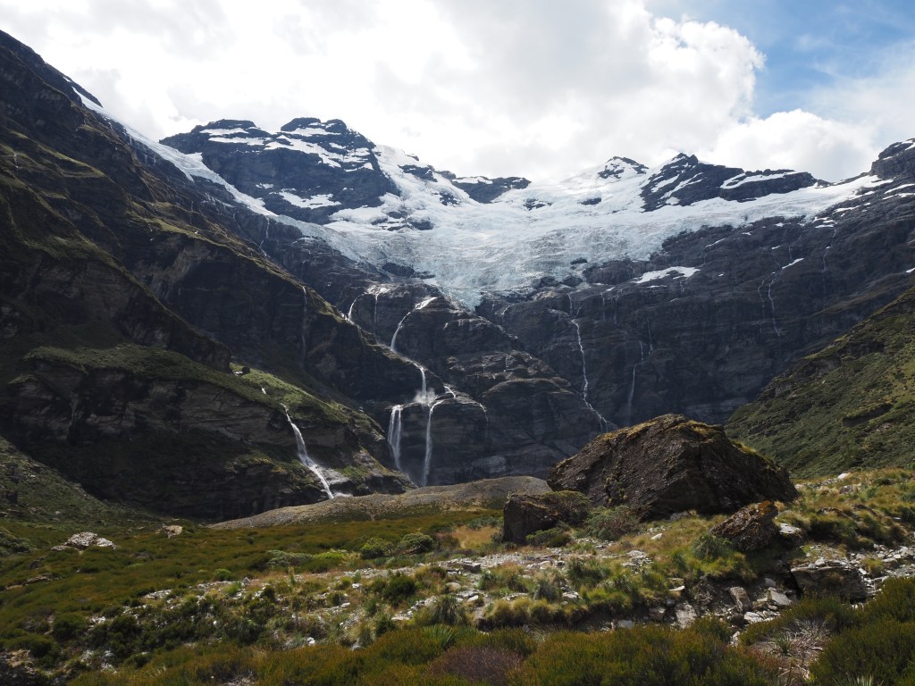
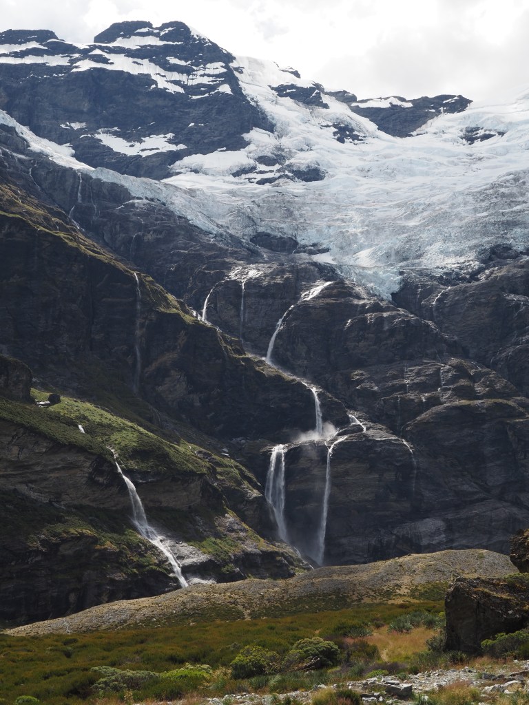
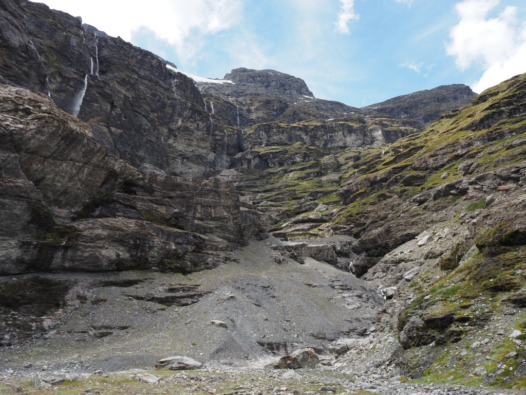
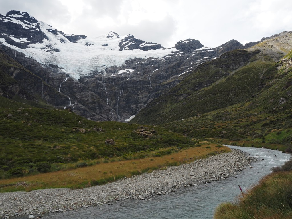
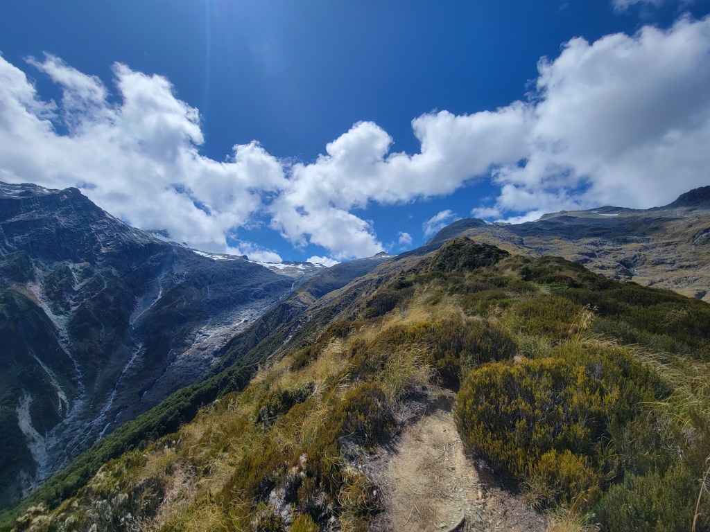
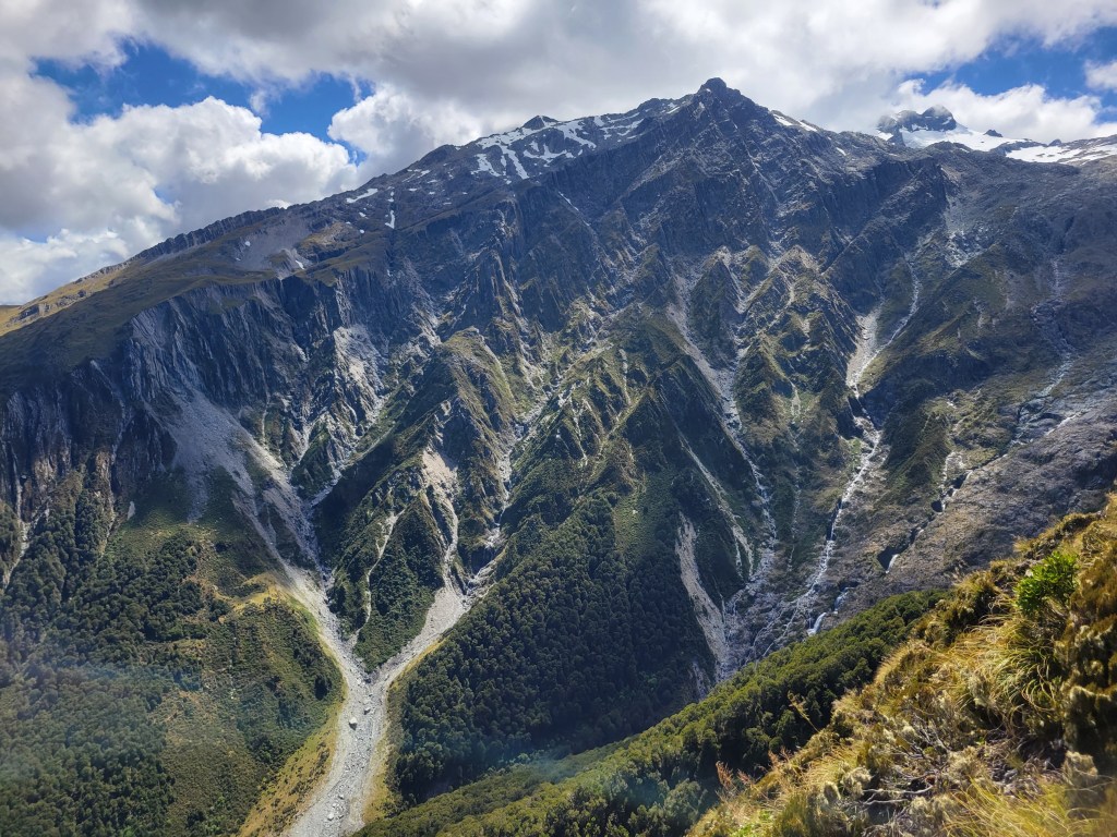
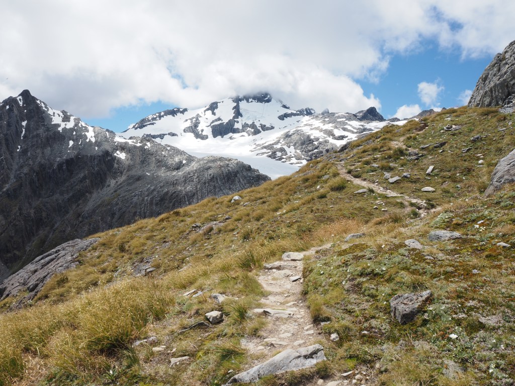
Since my Routeburn hike was a solid 9 hours, I had a few smaller hikes planned to break things up a bit before going for the equally hefty Earnslaw Burn track. But the forecast showed rain coming in the next few days and the reviews said Earnslaw Burn was a tricky trail, so I decided to try to seize the good weather and just did back to back 9 hour days of hiking. Earnslaw Burn did in fact turn out to be quite a difficult hike, with the trail in medium shape and lots of short, steep up and down sections. Unlike the Routeburn, though, I found the scenery absolutely stunning. The trail is basically just a straight line out and back through a huge valley, with the payoff being a single mountain covered in a massive glacier, feeding waterfalls that cascade down all over the place. I don’t know if it was the difficulty of the trail, how many fewer people there were, the sheer, overhanging sides of the valley, or the mountain/glacier/waterfall triumvirate, but I enjoyed this hike much more than the Routeburn. It was really stunning.

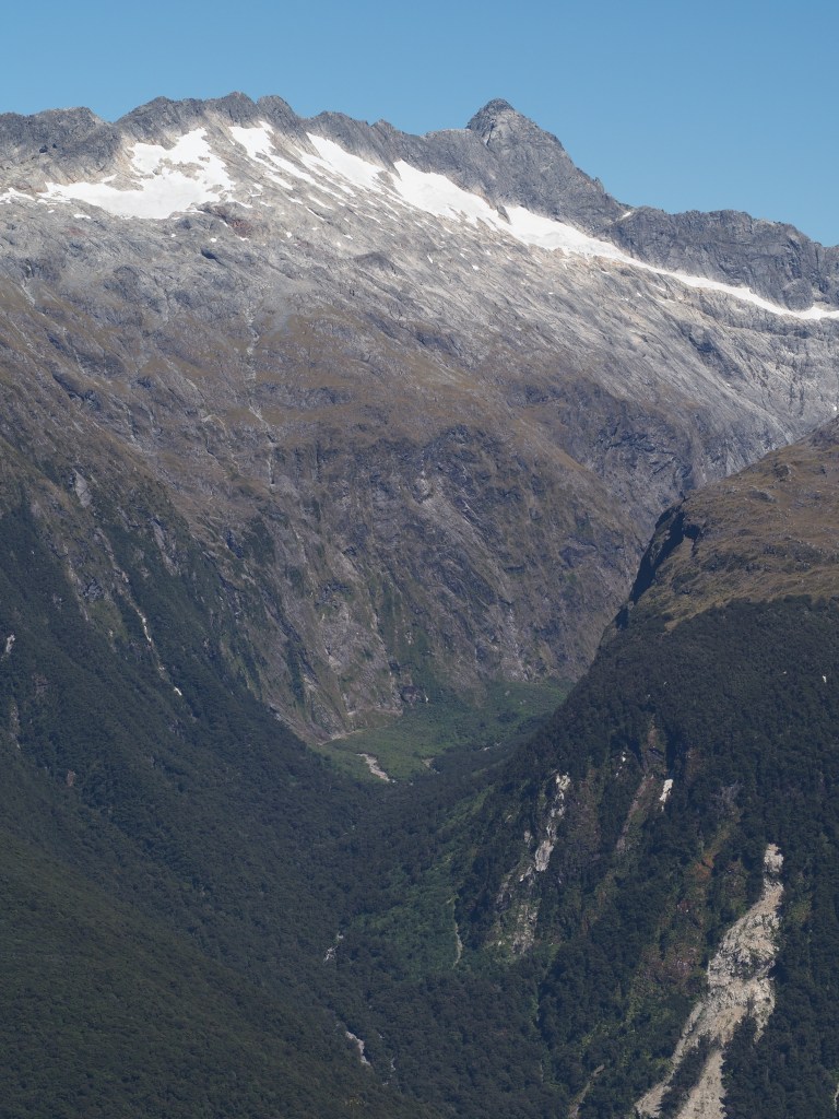
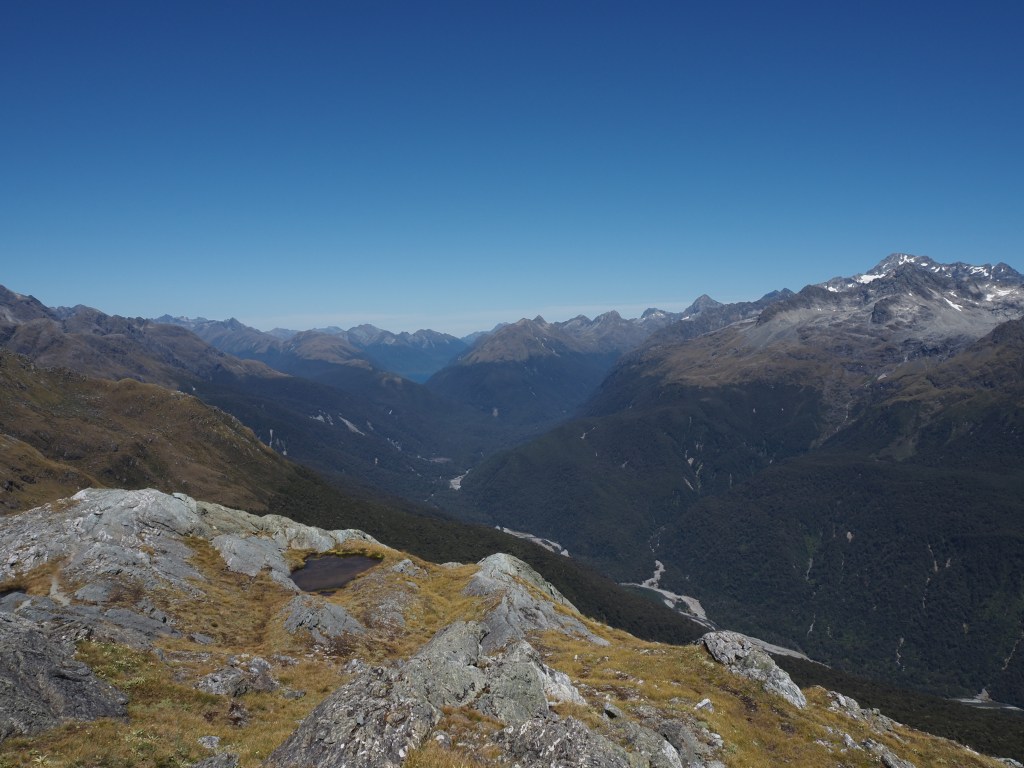
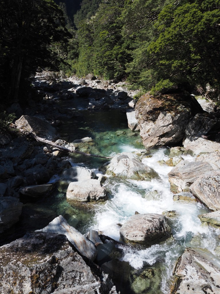
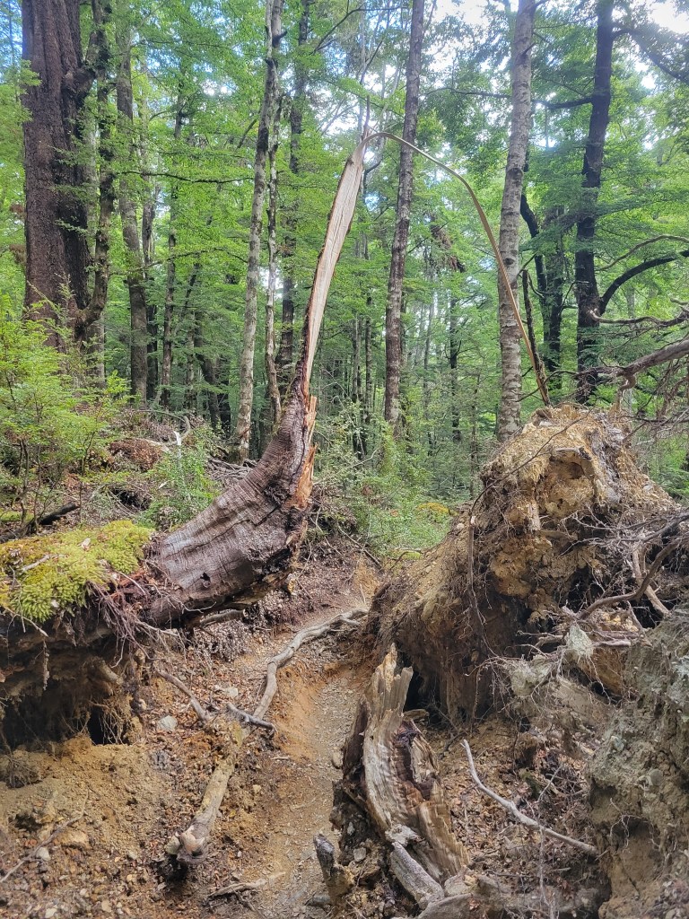
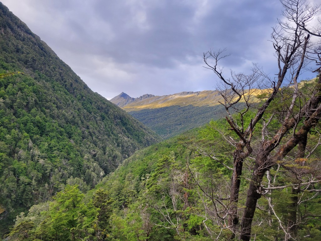
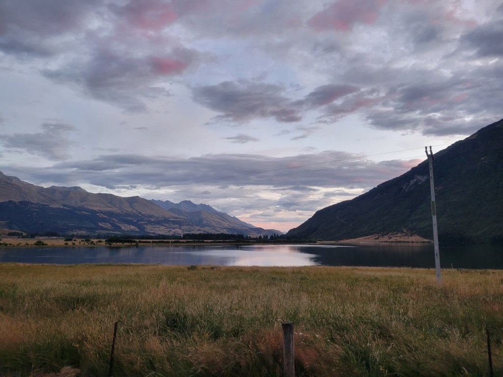
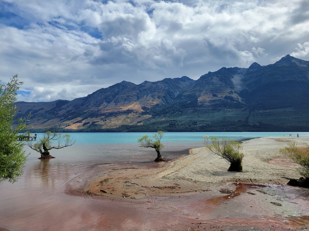
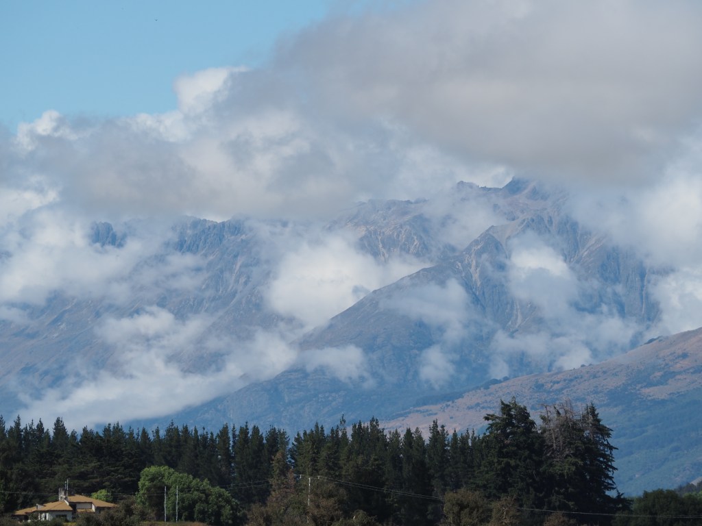
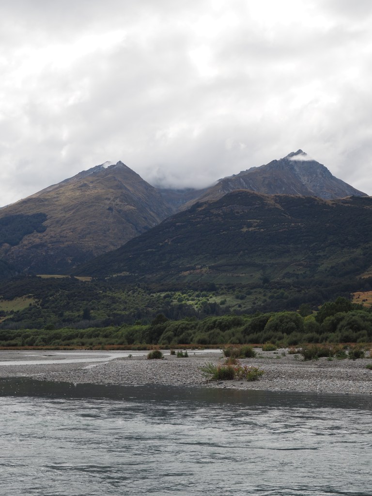
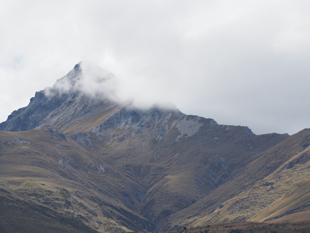
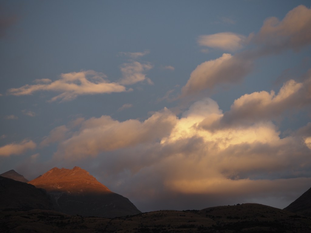
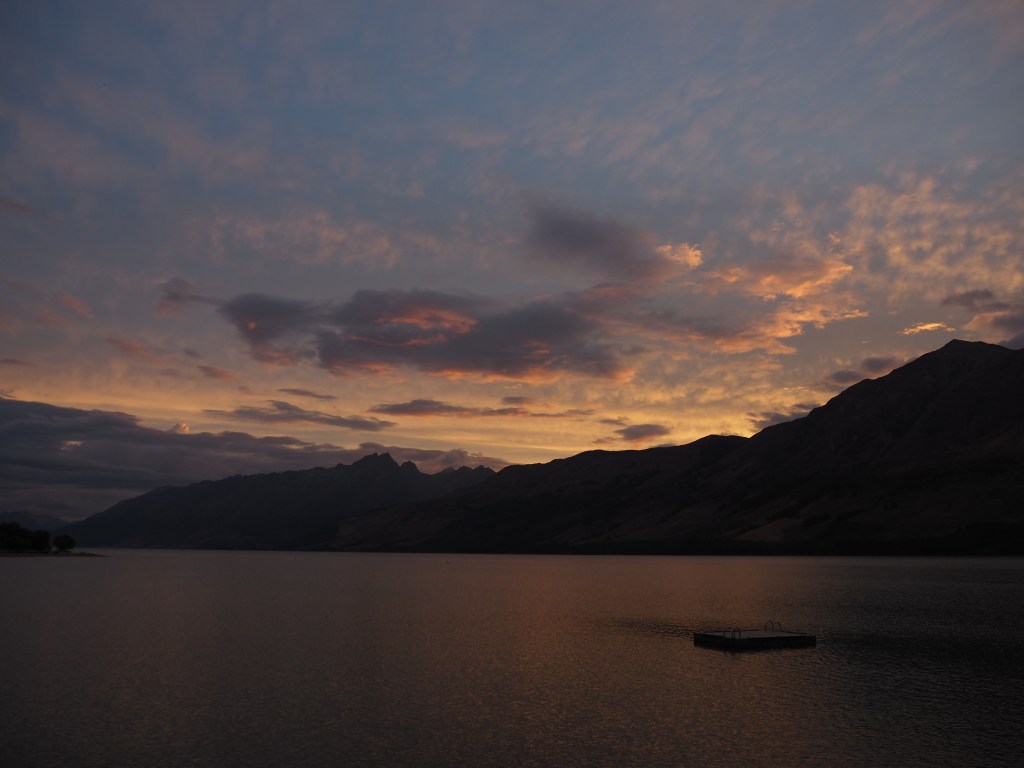
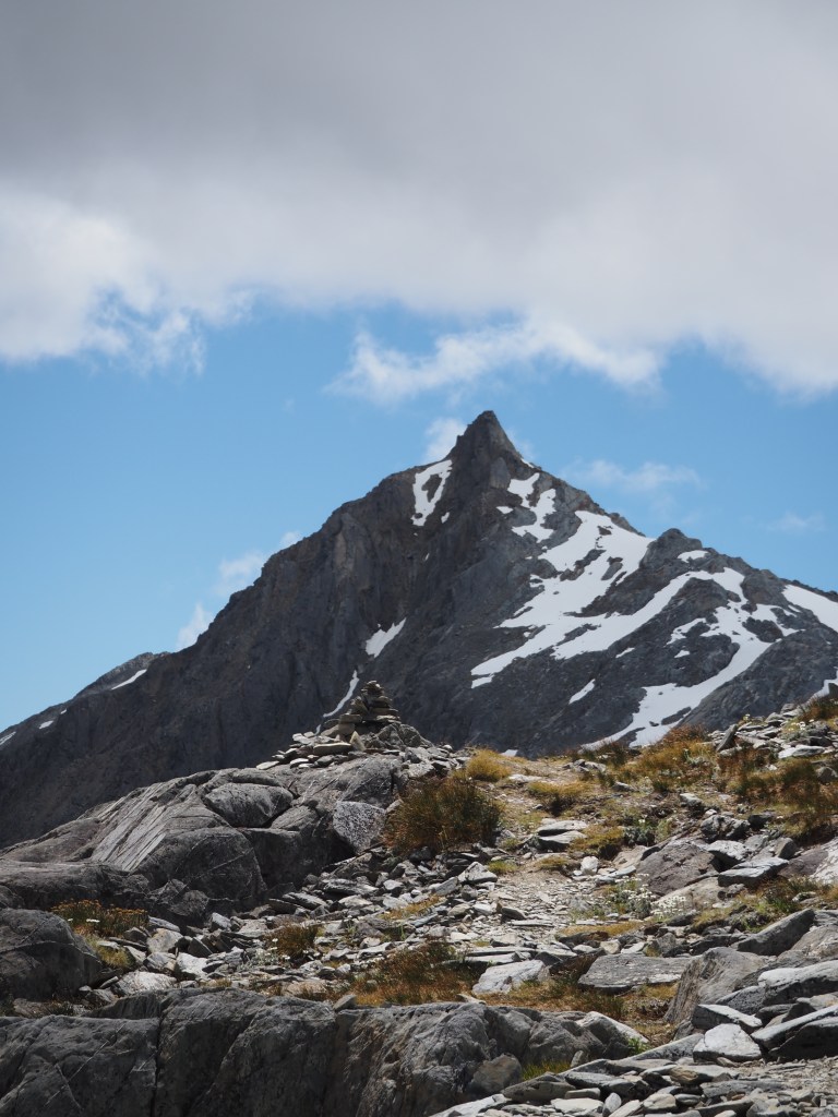
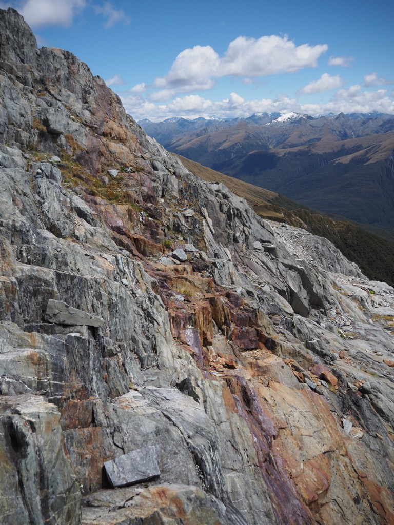
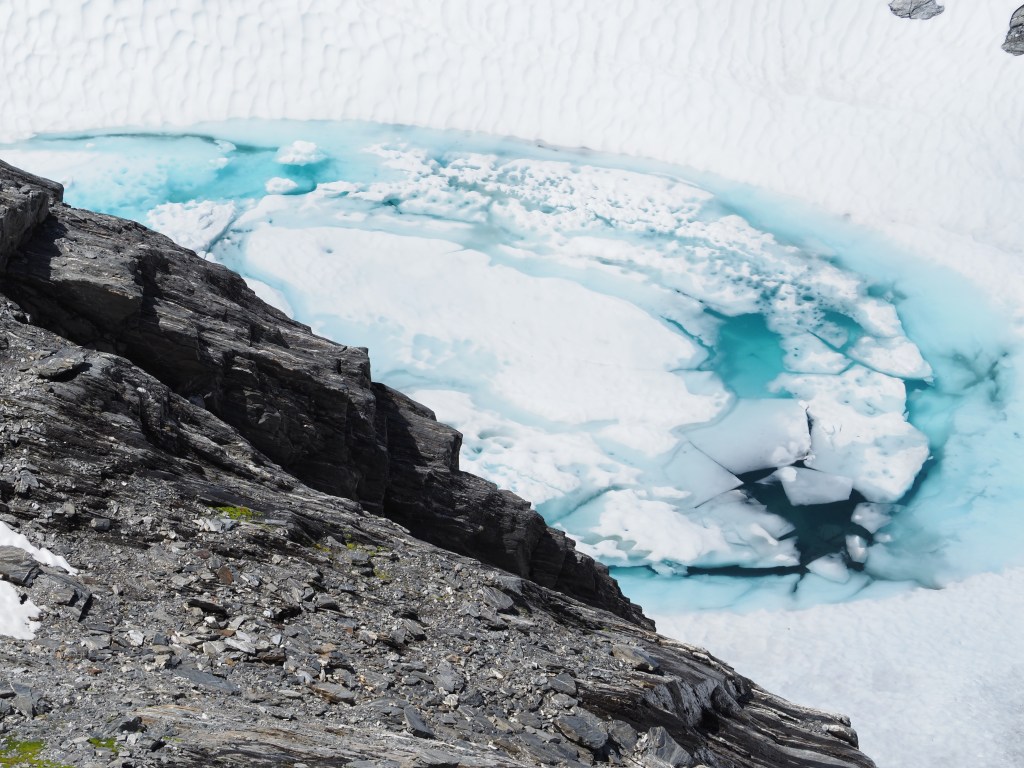
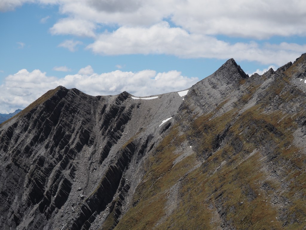
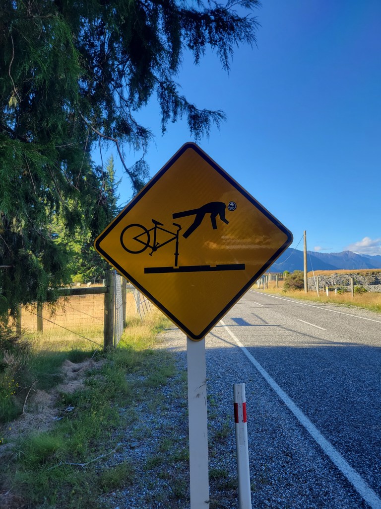
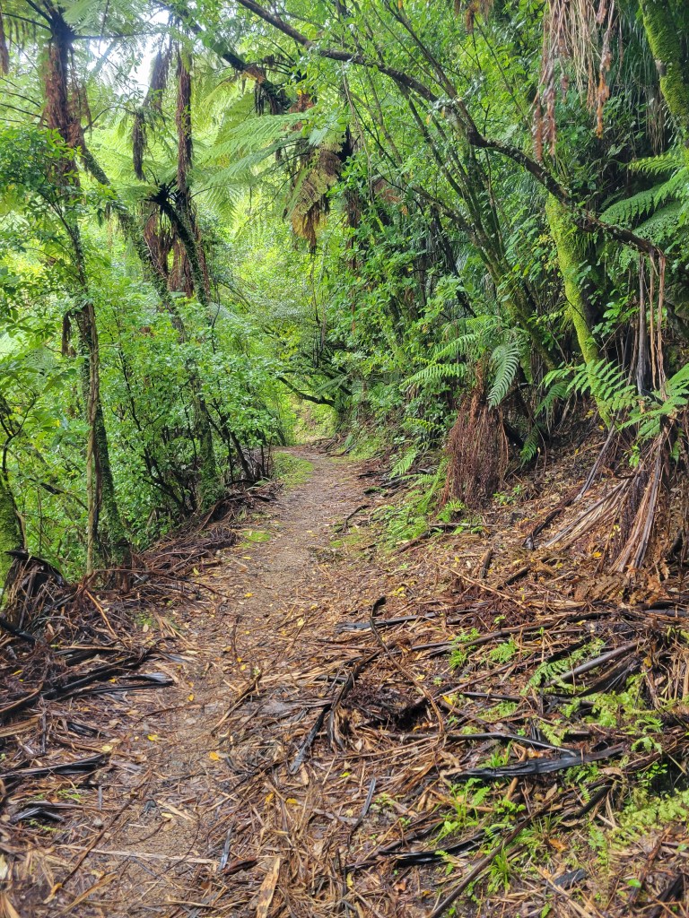
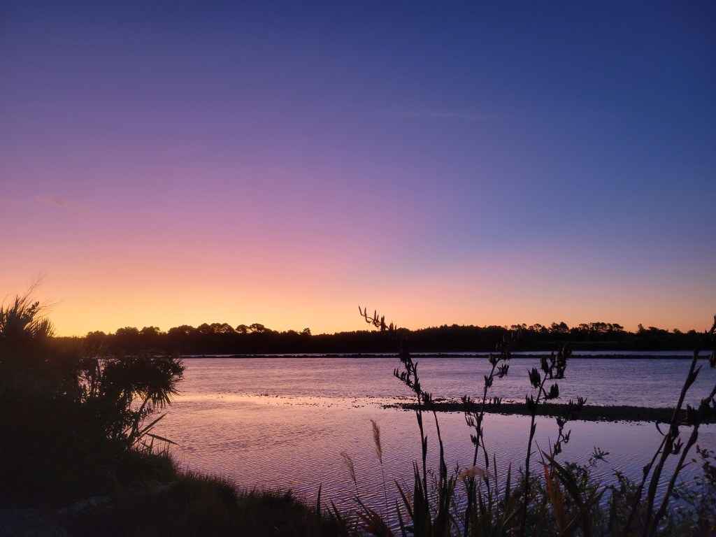
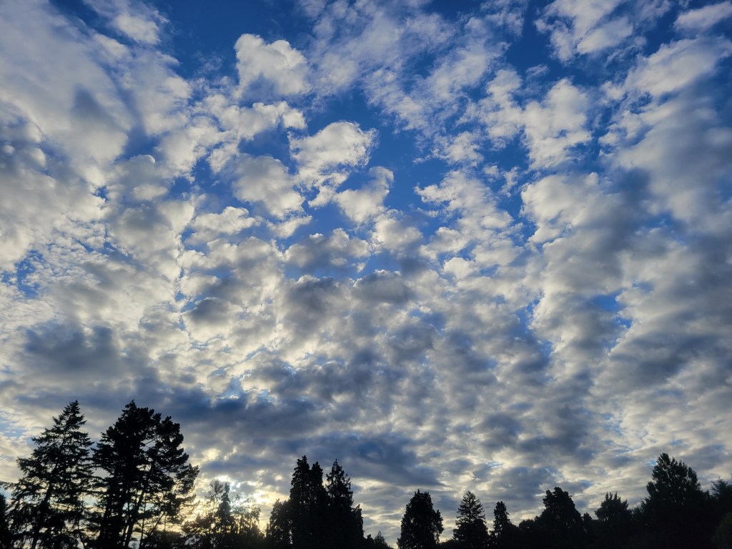
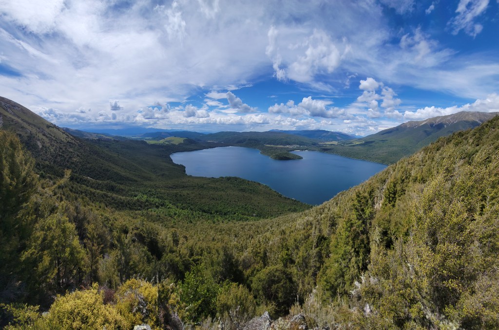
I was pretty beat after those two long days so I took yesterday and today to just rest up and hang around Glenorchy. I think I’ll go for another long hike in this area tomorrow on the McIntosh Loop, and then the day after likely restock in Queenstown before starting to head around Lake Wakatipu towards Fiorldand and Milford Sound. I’ve also been having fun playing with my new toy and taking some Attempted Artsy Photographs (the clouds are for you Michelle!), so I’ll include some of those below. Videos for this post are here.

Glacier Country

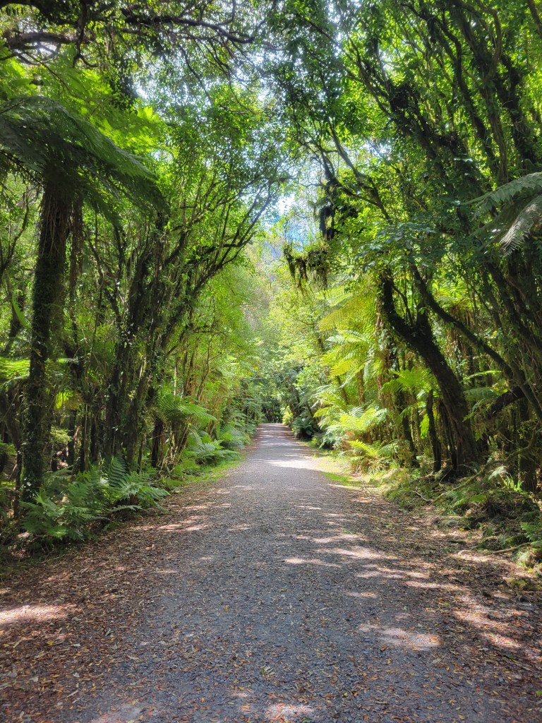
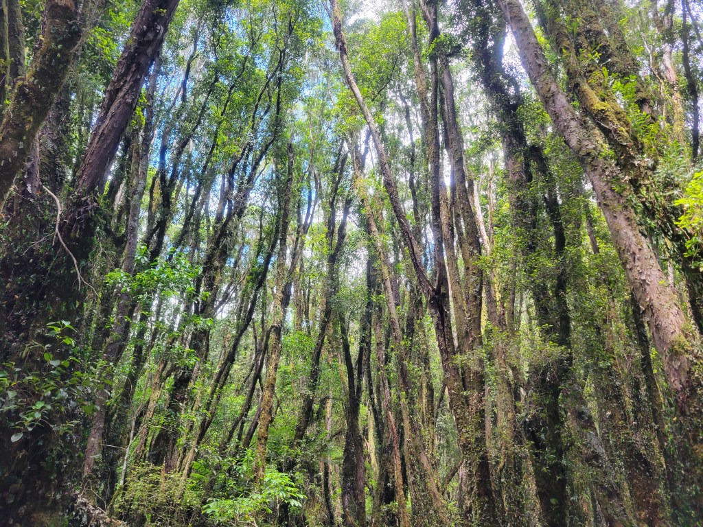
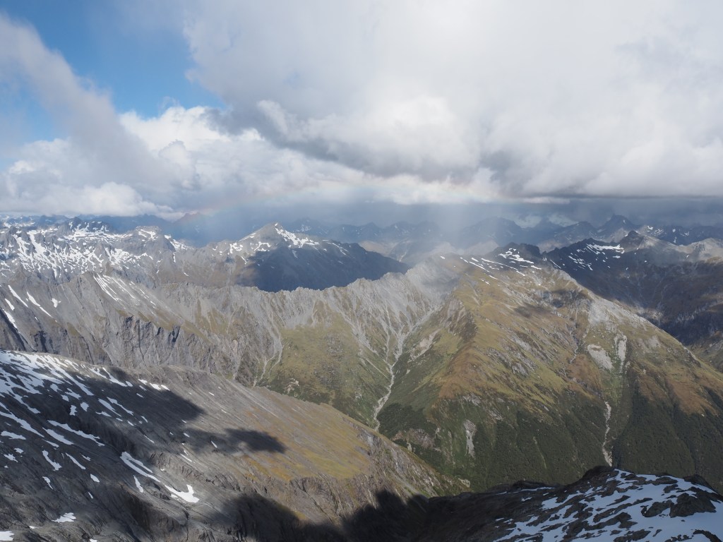
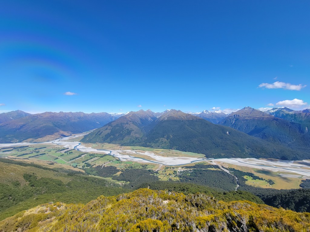
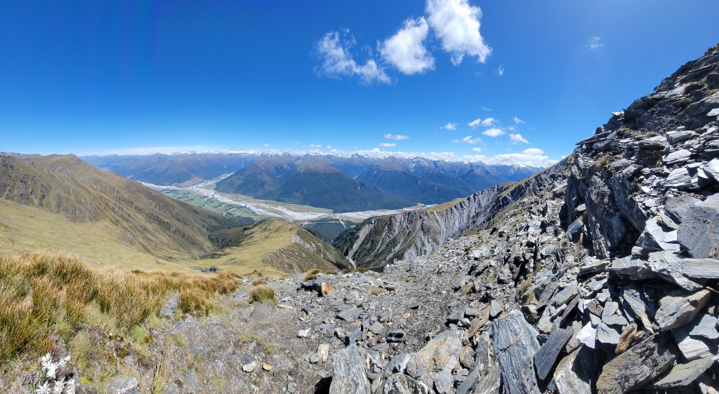
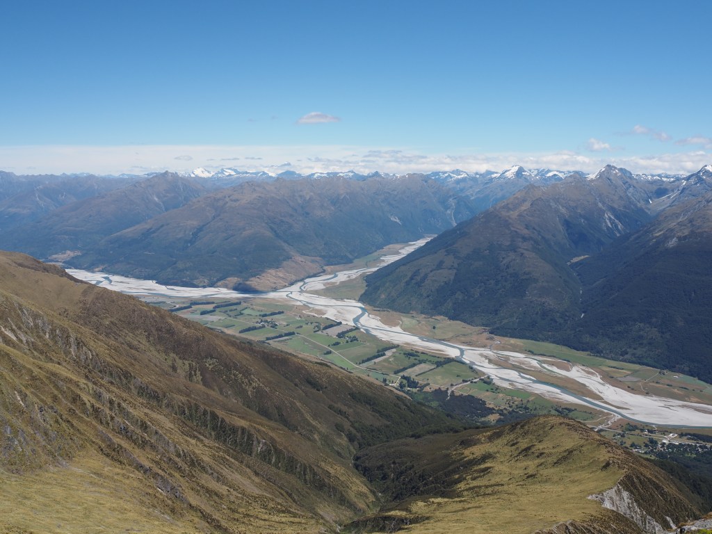
Time for another long overdue update. The perils of being too comfortable have struck again, but we’ll get to that. I’ve done so many amazing hikes since the last post that this update will be more of a photo dump with light descriptions, rather than the lovingly crafted hike descriptions of posts past. I’m sure my readership won’t be disappointed by that, as describing every twist and turn of every hike is certainly only interesting to me. Videos for this post (usually one or two per hike) are here.

Alex Knob

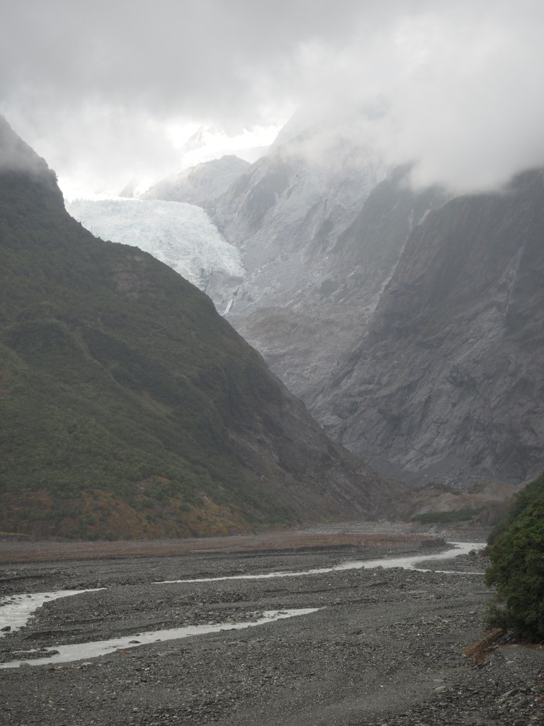
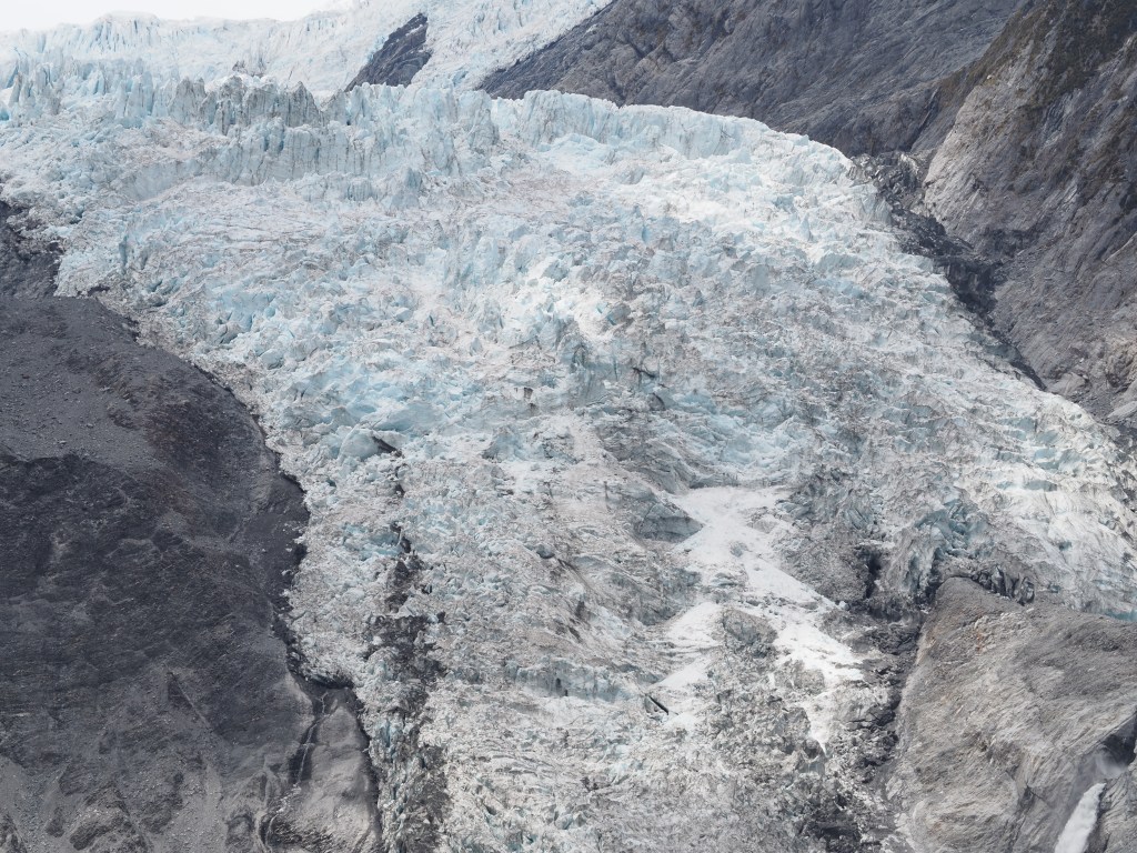
The first major attraction I visited after the last post was the Franz Joseph glacier, where there are a few solid hikes to climb up and get a view of the glacier. This was my first taste of a more truly touristy area, with lots of tour buses coming through, and many people taking helicopter rides up to the glacier. Anyway, the first hike I did was Alex Knob, which is a solid climb, but not advised in poor weather, since it climbs up to where the clouds are. Needless to say…

Robert’s Point

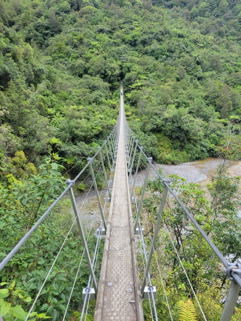
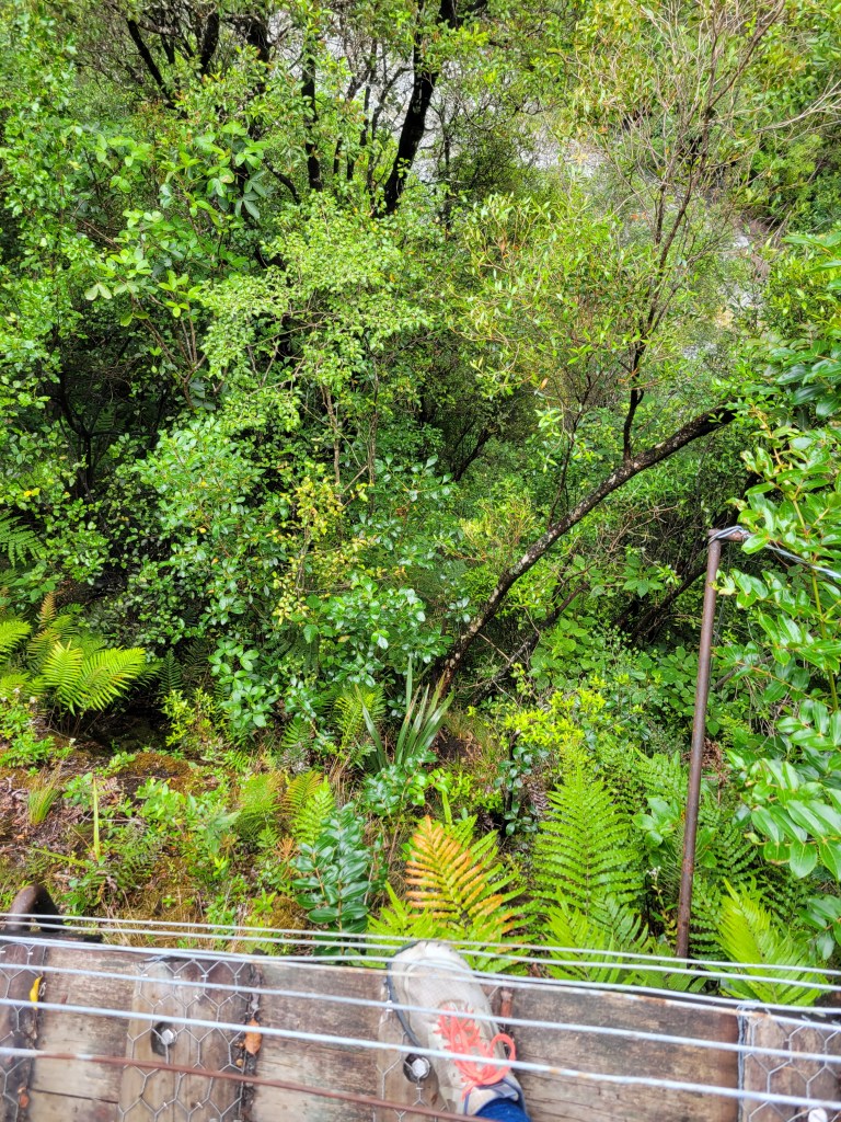
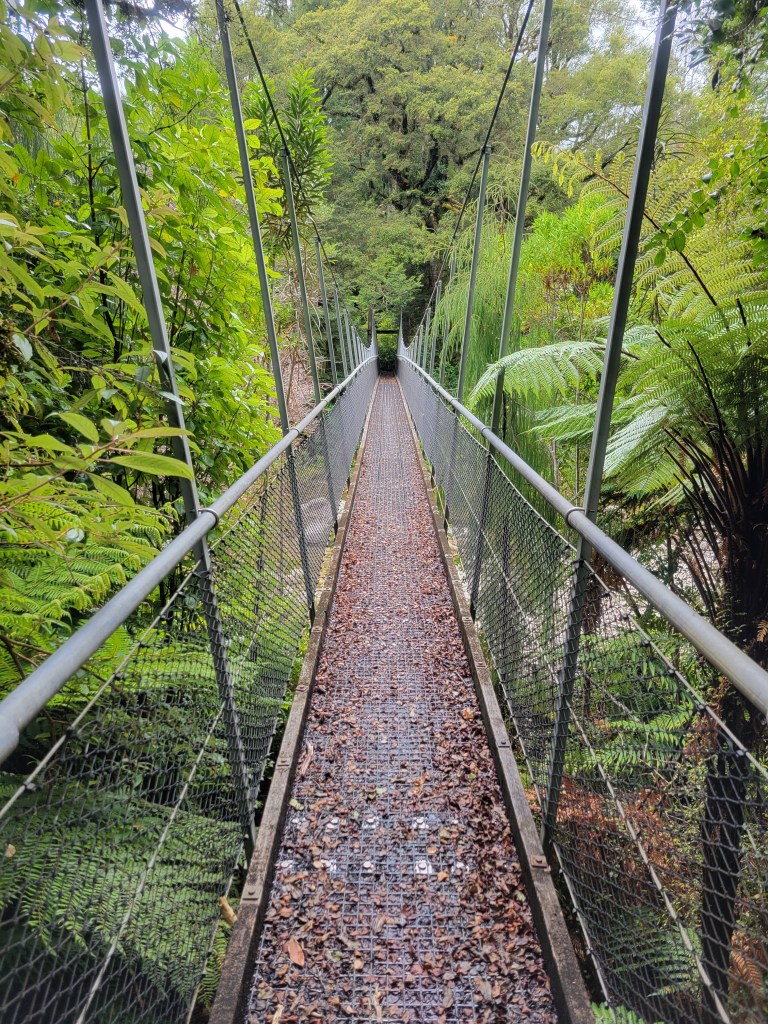
I was all ready to just cut my losses after my cloudy Alex Knob experience, but a friend had strongly recommended Robert’s Point so I finally figured I’d give it a try. It was a great recommendation! This was a really cool trail with several swingbridges (including a very long one and a couple quite high ones), cool rocks, and an awesome view.

Fox Glacier

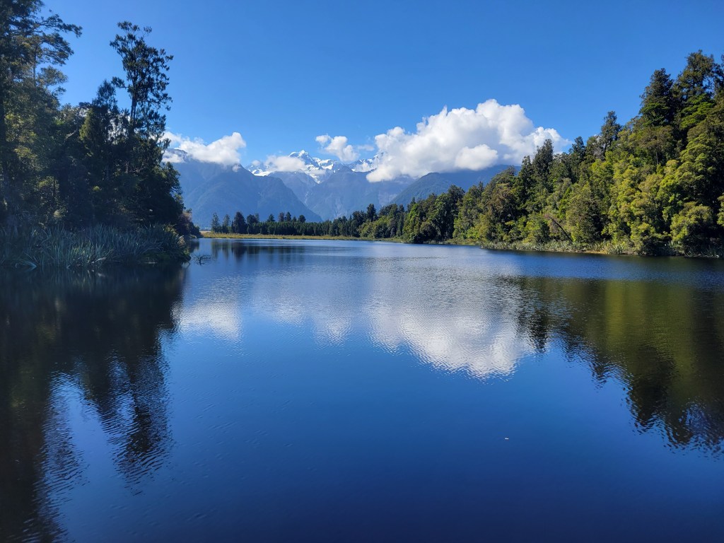
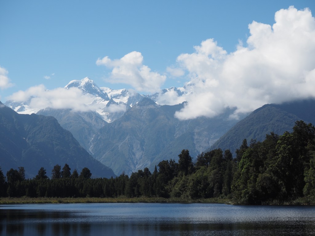
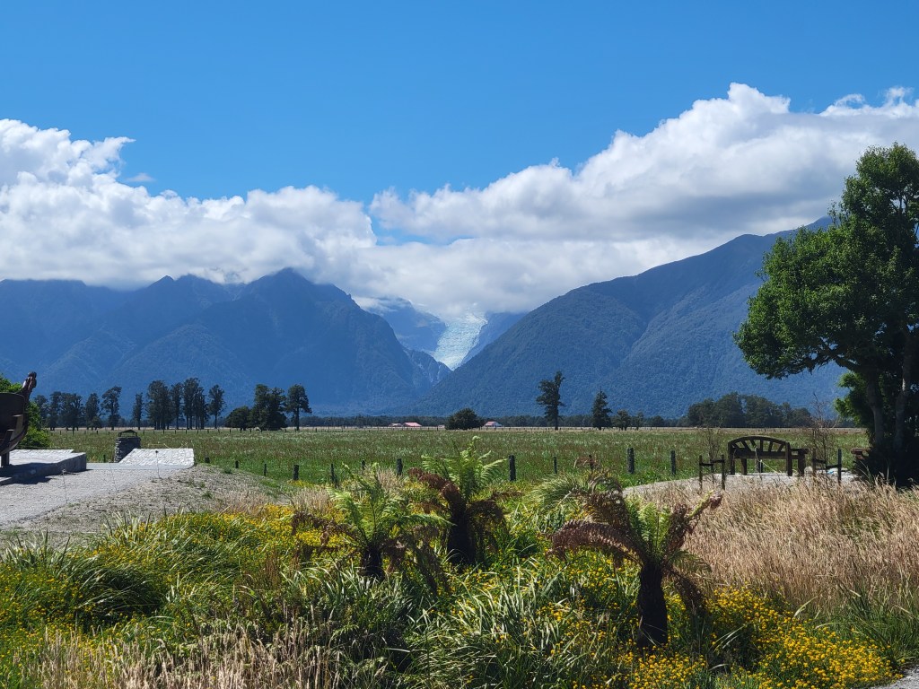
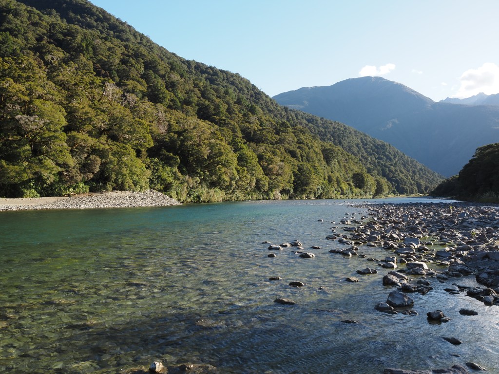
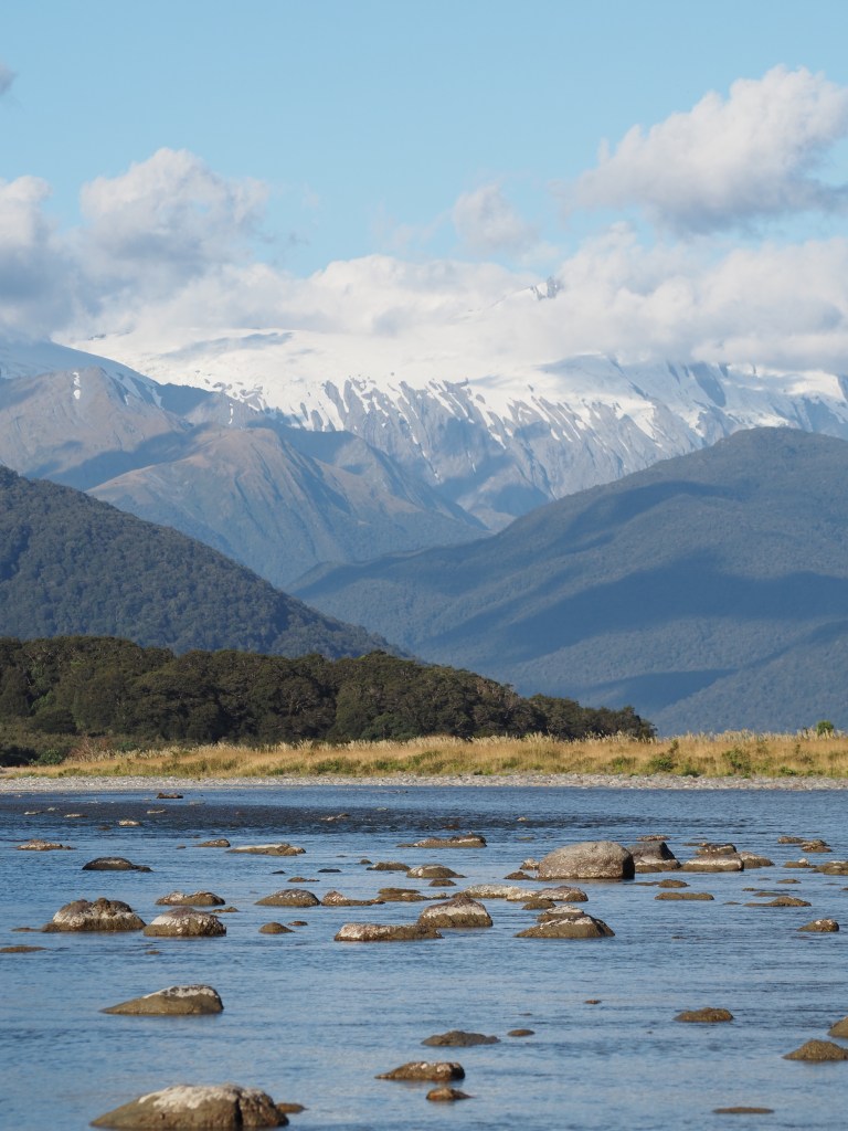
In the next valley over from Franz Joseph glacier is Fox Glacier. Besides the ubiquitous helicopter rides there aren’t so many vertical hikes, but there’s a lake where you can take a lovely walk and get great views of the glacier. I took the opportunity to play around with my new camera, and that night ended up at a beautiful campsite by a river where I took some more photos.

Brewster Glacier and Mount Armstrong

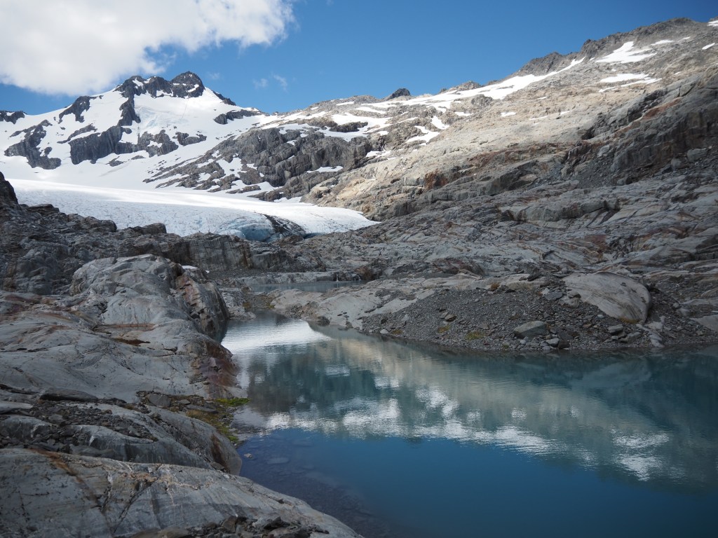
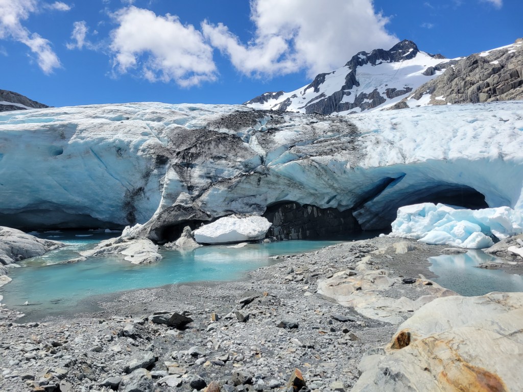
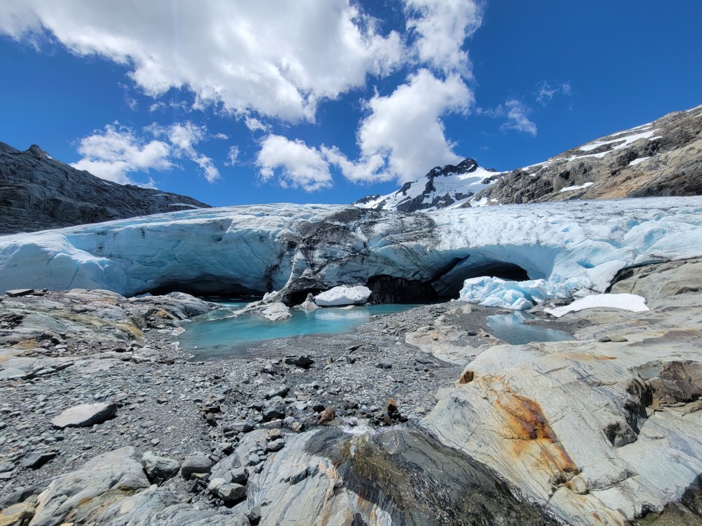
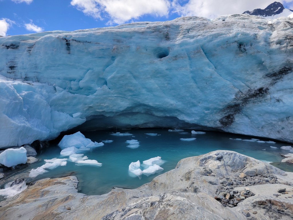
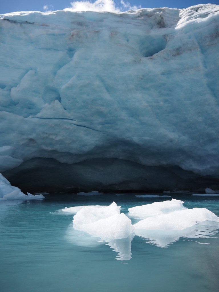
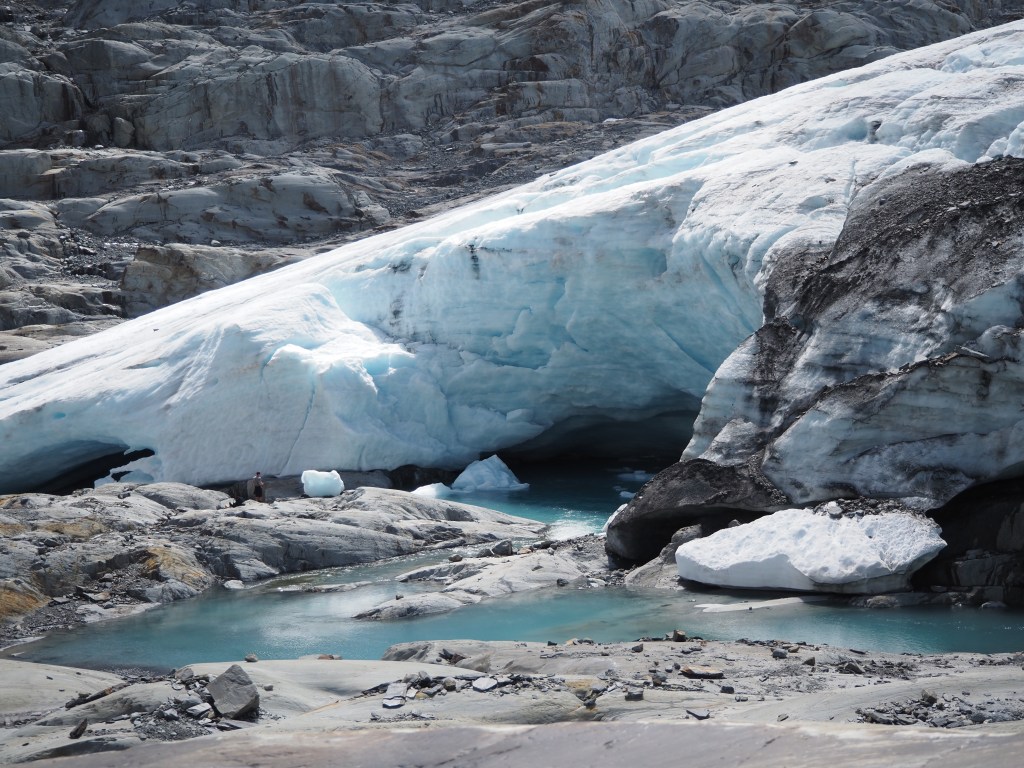
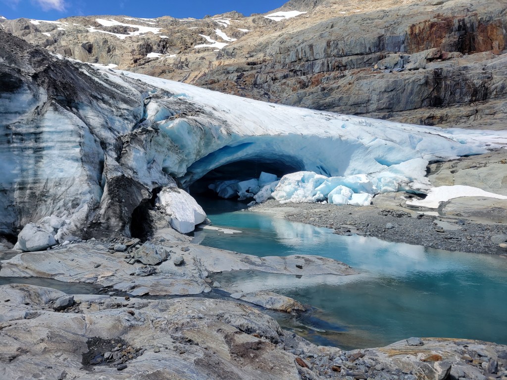
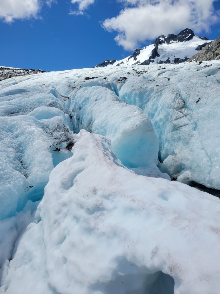
This was one of the absolute best hikes I’ve ever done. It starts with 2 hours of very steep climbing up to one of New Zealand’s famous huts (kind of a similar climb to the ole Mailbox Peak hike, for anyone in Seattle). From there you can take an informal but well-traveled trail that winds around the base of the mountain and leads you to the very foot of the Brewster Glacier, with blue lakes, a sequence of cascading waterfalls, and really cool rocks. You can walk right up to the glacier! You can touch it! You can climb on it! And the whole scene is just stunning.

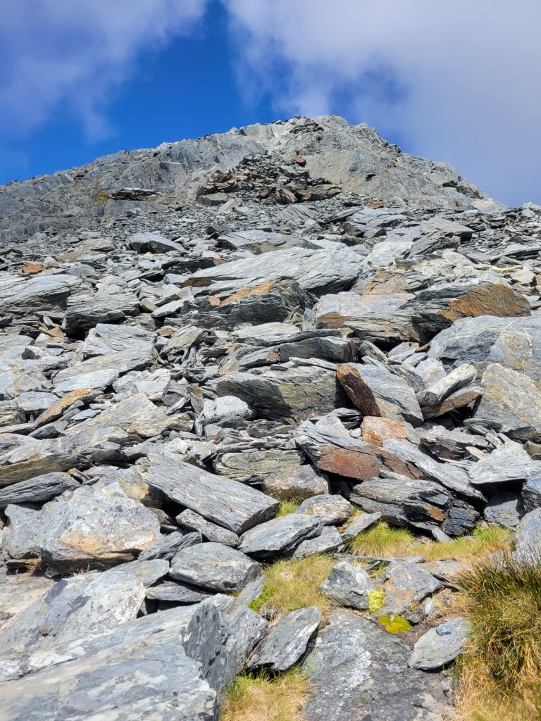
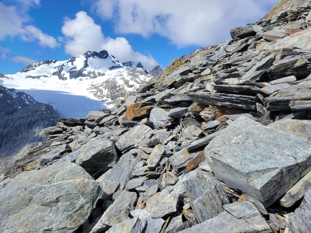
There’s another trail, also informal but much less well-traveled, which leads from the hut up to the summit of Mount Armstrong. Calling it a trail is, frankly, misleading though. It’s actually just that you can see the summit of Mount Armstrong from the hut, and you just…. walk straight up to it. Calling it walking is, frankly, misleading though. Mount Armstrong is basically just a gigantic rock pile, so it’s more that you freeform scramble your way up these massive rocks to the summit.

I had planned to get to the hut, have a snack, then summit Mount Armstrong, and then come down and see the glacier. Somehow I started toward the summit, followed the cairns that mark the trail, and…. ended up at the glacier. This was no punishment, and after a bit of debate I decided to still head up to the top of the mountain. The only bummer was that it had been perfectly clear all day, but I didn’t get up on top of Mount Armstrong until about 5pm, by which point things were starting to cloud over. The views were still astonishing, but the 360 degree panorama was obscured on and off in various places. Rough life.

Mount Shrimpton

Despite the great name, this is pretty much the only hike I’ve done so far that I wouldn’t recommend. It’s similar to Mount Armstrong in that it’s a very steep official trail up to a point, and then just almost no trail at all where you scramble up to the top. But this scramble was over either long, slippery grass or small, slippery rocks and scree, and there were several different places where it was steep enough that if you started sliding it wasn’t clear that you would stop (before the valley floor, at least). So I spent a bit of this hike fairly scared, and ultimately the view at the top wasn’t quite as spectacular as Armstrong. Though I was also still sore and tired from Armstrong a couple days before, and maybe I’m just getting spoiled.

Wanaka

After all that hiking it was time for a bit of a break, and as luck would have it there was a soft landing spot waiting for me in the hip lake and mountain town of Wanaka. When I resurrected this blog, somewhere in the absolute avalanche of positive messages (HA!) was an email from my uncle George saying that he had some friends in Wanaka and I should look them up when I got there. Inveterate mooch that I am, I opened up lines of communication immediately. And that’s how I find myself kicking back and watching the Australian Open here in George (not my uncle, his friend is also named George) and Victoria’s beautiful house in Wanaka. As my uncle George pointed out, that didn’t take long!

Though I’d never met George and Victoria before they’ve taken me in like an old friend and shown incredible hospitality. These few days have been just the ticket after a month of van life, from the practical (laundry and a shower) to the spiritual (warm and friendly company, interesting conversation, incredible food). Last night I crashed a dinner they hosted for their friends Jane and Charlie, where they made an astonishingly tasty spread (and I don’t just say that because 30% of my recent diet has been canned beans) and Jane gave me tons of recommendations for my next hikes. Today Victoria brought me along to the social tennis meetup at their club where I accidentally played for 4 hours and had an absolute blast. I may not be able to lift my arm tomorrow, but it’ll have been worth it.

Upcoming plans are a bit hazy. I think we’ll all go for a bike ride tomorrow, and then I may start getting back to the hiking life the following day. There are a couple of day hikes around here I’m keen to check out, and then many more sights to see: Queenstown, Glenorchy, Te Anau, Milford Sound, Fiordland, the list goes on and on. I (of course) don’t have much of an itinerary planned out so we’ll just see how we go.

You can see the videos for this post (one or two per hike, usually) here.

Westport

Alright, we’re settling back into the familiar rhythm of sitting around not doing a whole lot, but still being too lazy to write a blog post. Truly, this is my sweet spot.

Picking up where we left off, I fled my surfing failure in Westport and spent a couple of nights in the tiny town (more of an intersection, really, I say with nothing but love in my heart) of Karamea, farther north up the coast, on the west side of Kahurangi National Park. The hotel/bar/gathering place in town lets you park your van for the night for $7.00, which, considering you get access to a clean bathroom and a complimentary, unlimited hot shower, is a steal. I had a nice lazy day filled with flat whites, meat pies, and reading, and got ready for a nice hike the next day.

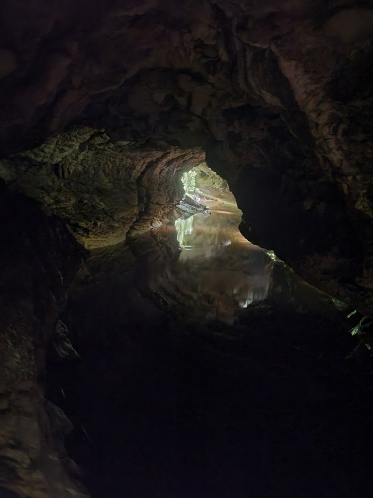
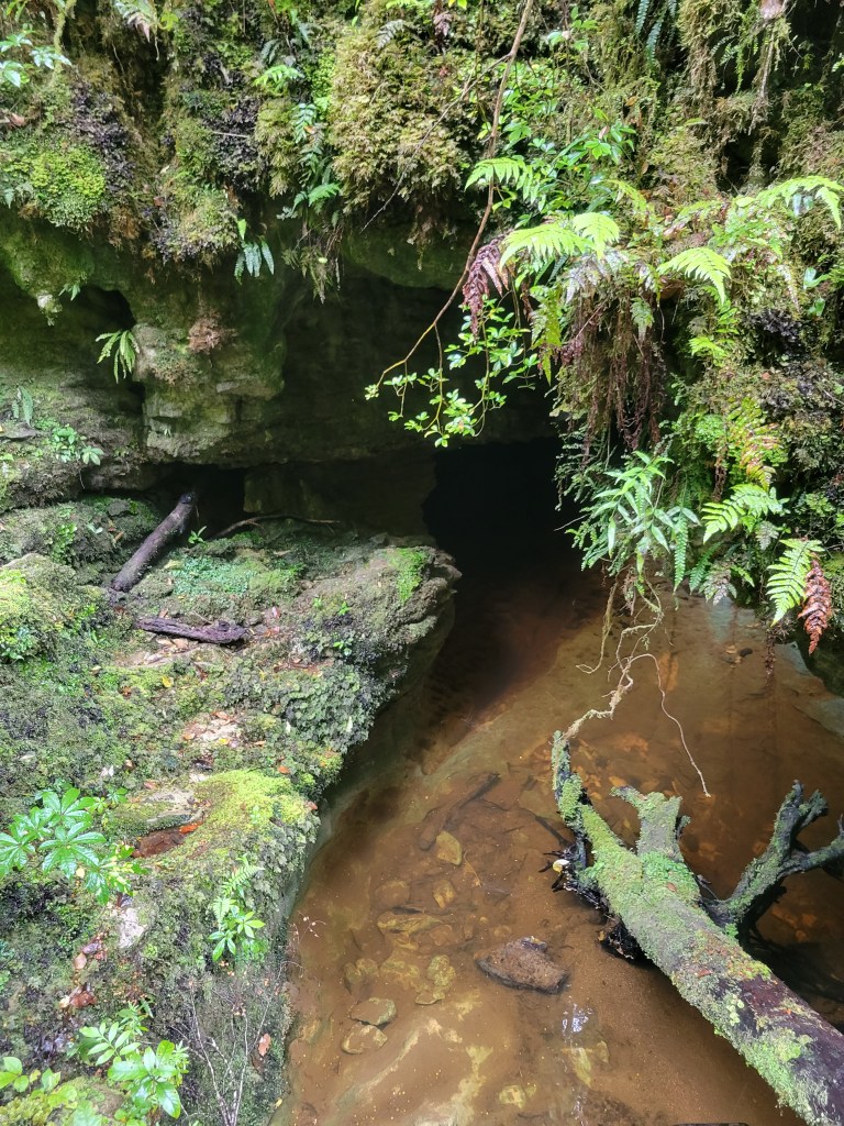
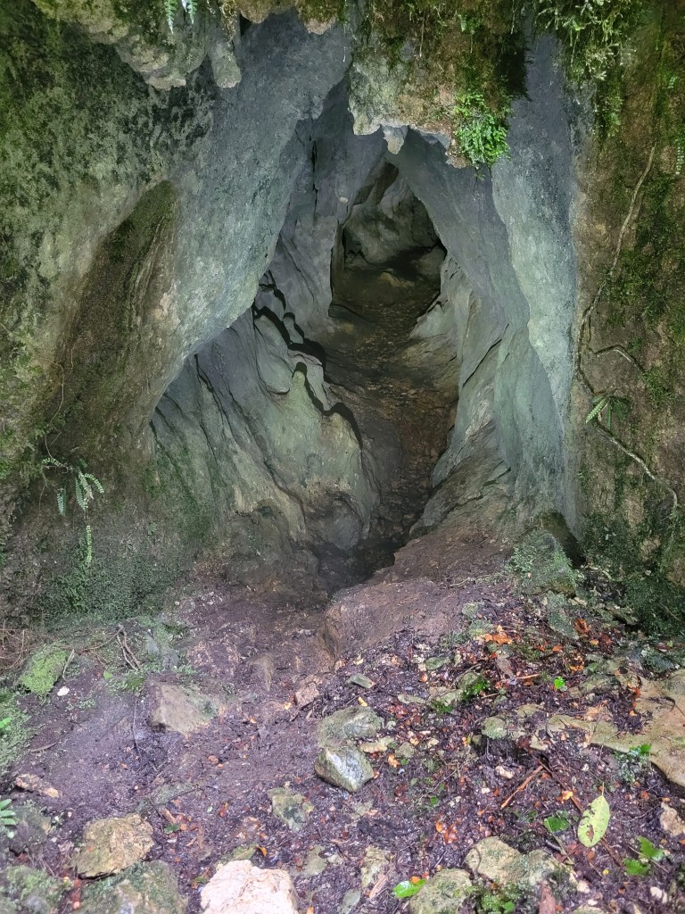
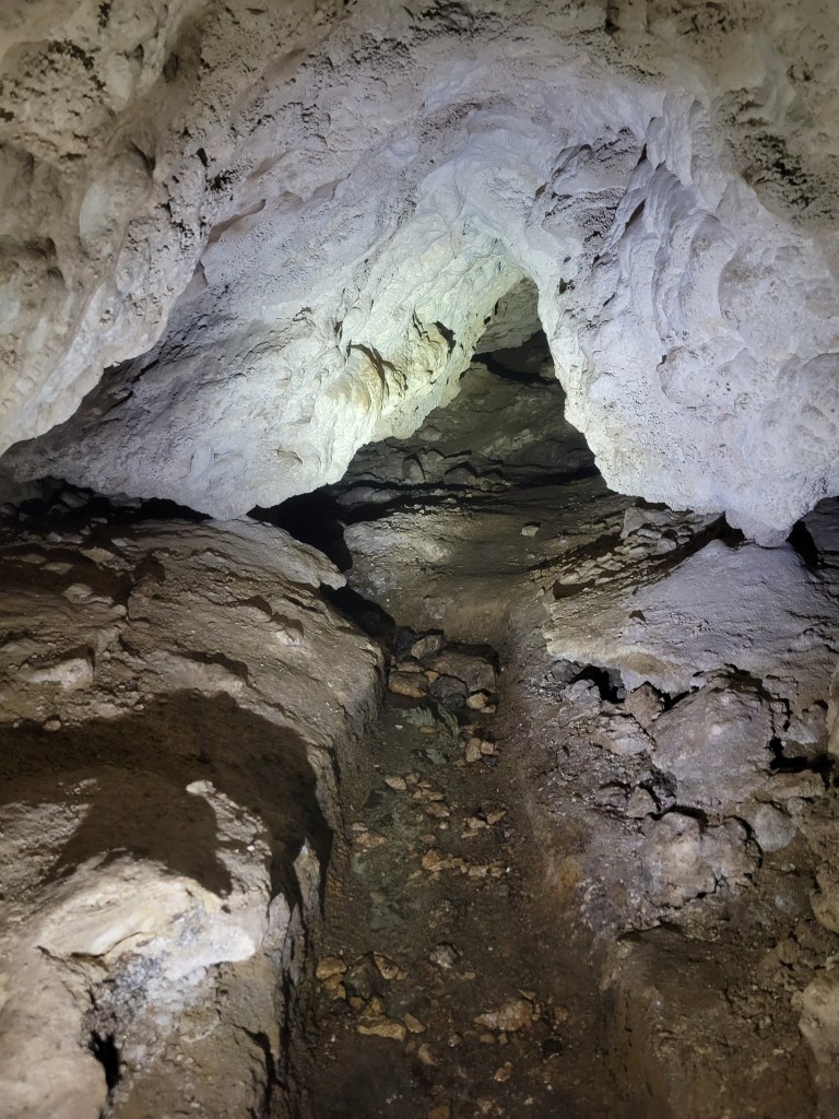
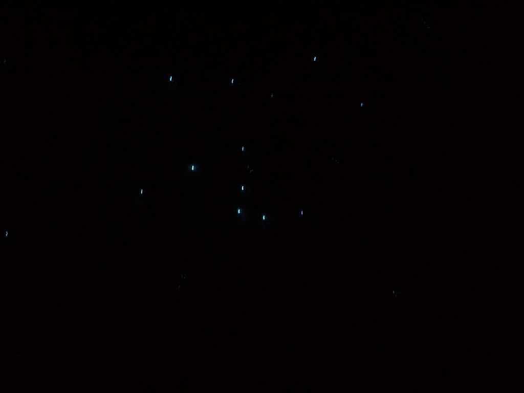
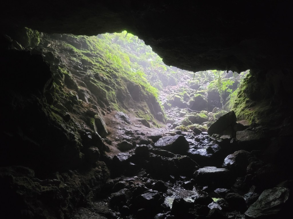
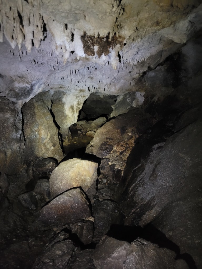
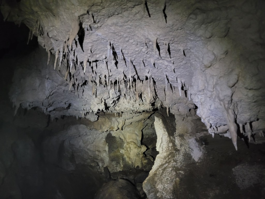
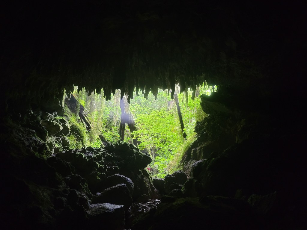
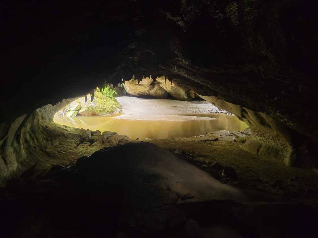
The plan was to check out the Fenian cave loop, then walk the Oparara Valley track up to the Oparara and Moria arches. The walk to the caves was quick and easy, and the caves themselves were pretty neat. I had them almost entirely to myself, and spent a while stooping and scrambling into every crevice I could find. I turned off my headlamp at points to soak in the total darkness, keeping eyes open to feel them straining and straining and failing to pick up a single stray photon. Then closing them, opening them, and truly not being able to tell the difference. A cool feeling! I also stumbled across some more glow worms, which are always delightful.

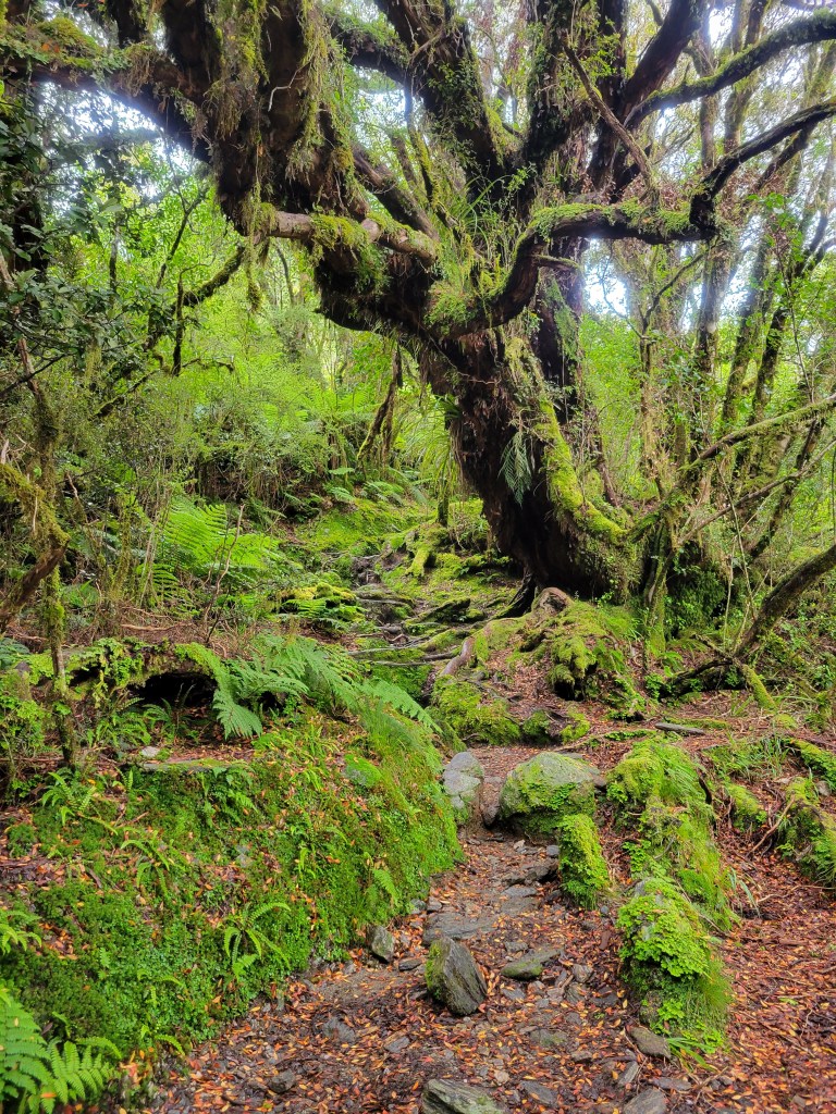
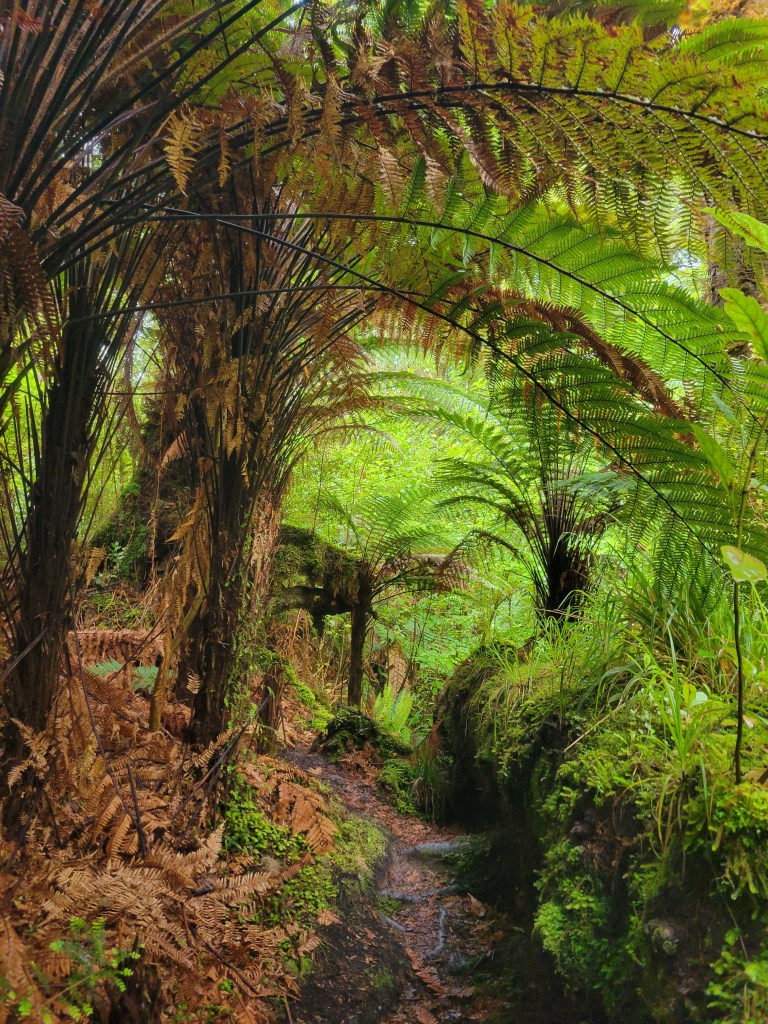
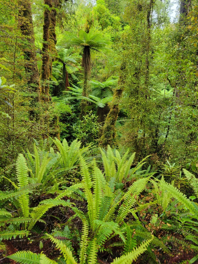
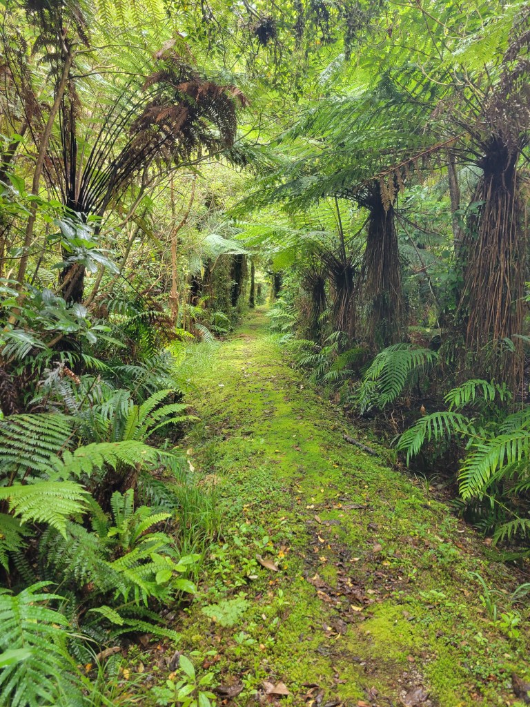
After the caves I headed north on the Oparara Valley track. This section was a couple of hours of bliss, just a lovely mostly flat walk through gorgeous, deep green forest full of mosses and ferns, where I didn’t cross a single soul.

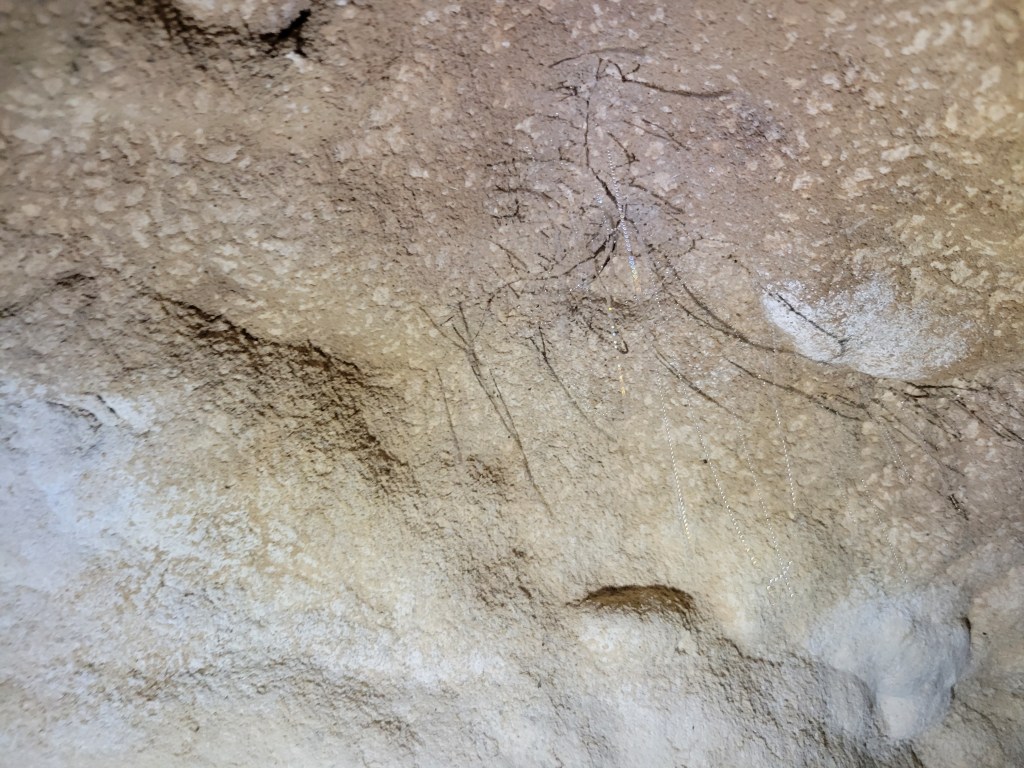
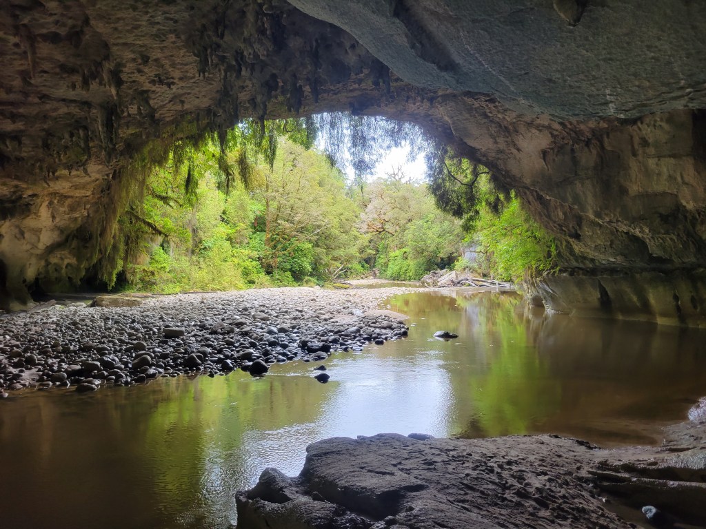
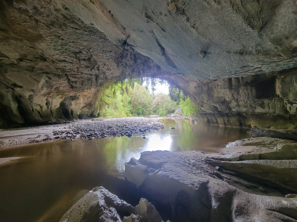
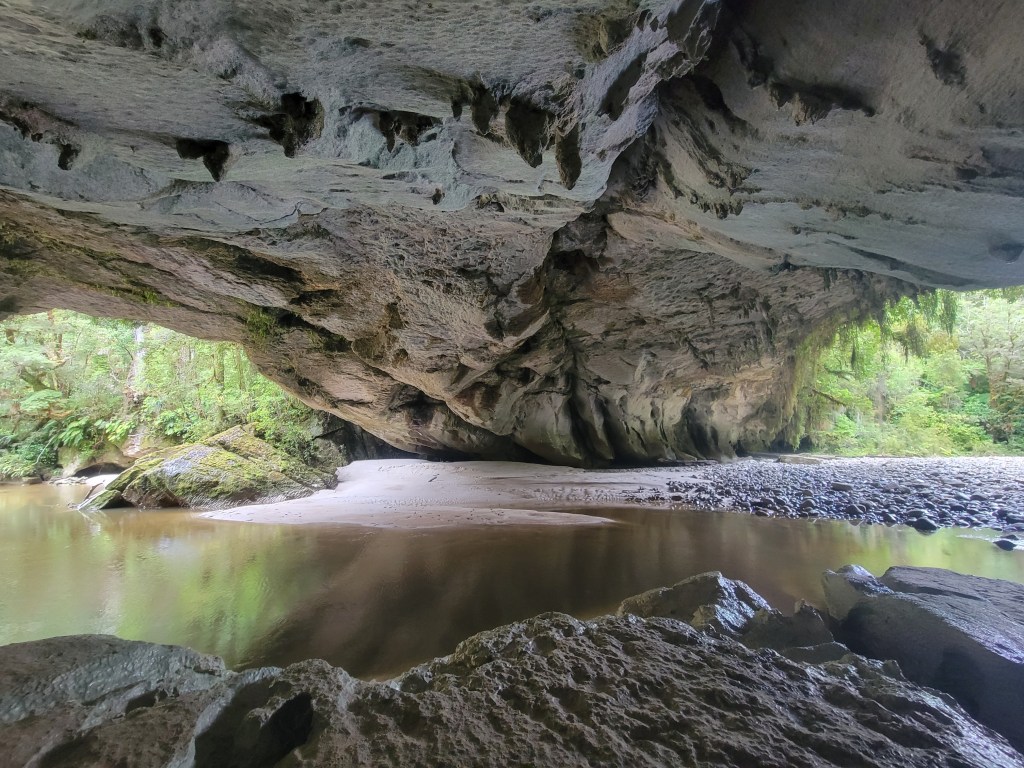
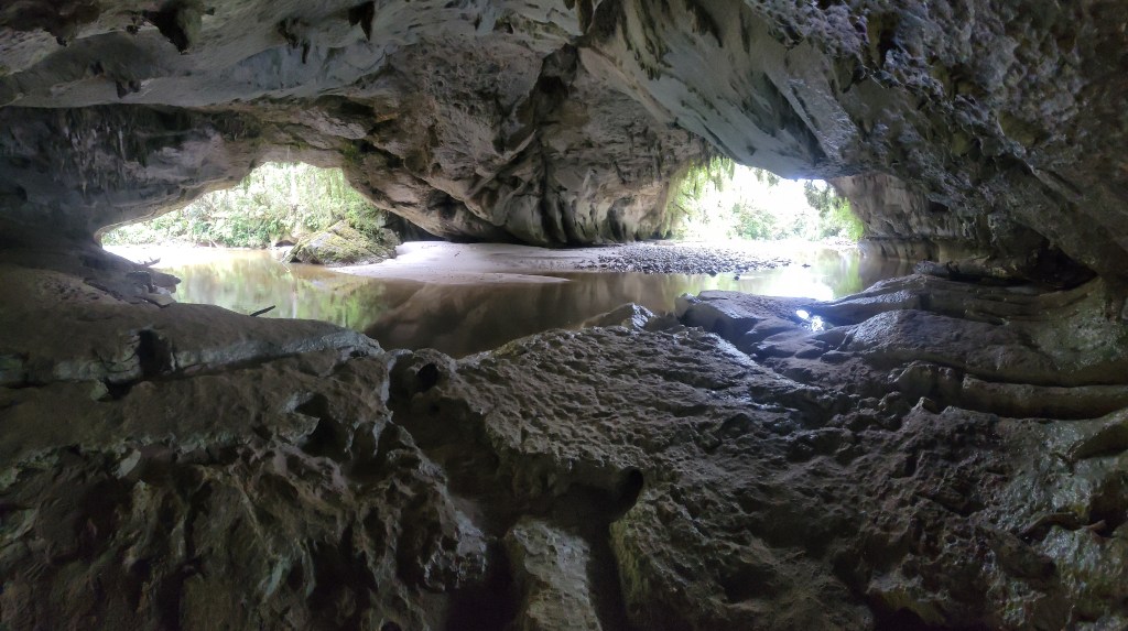
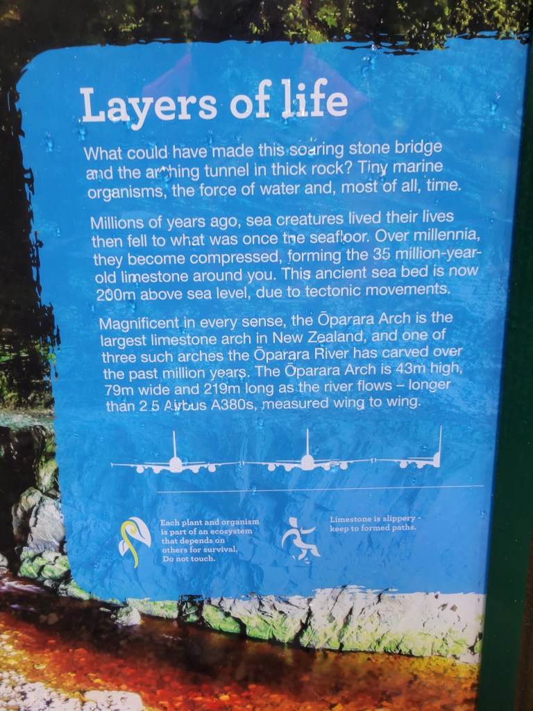
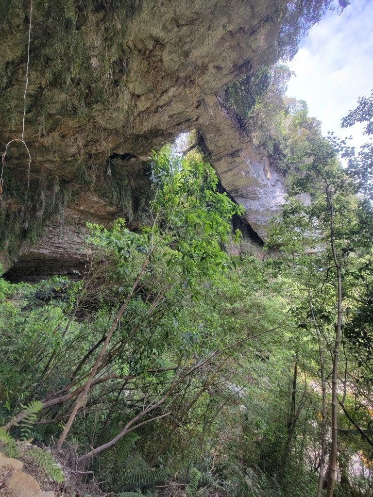
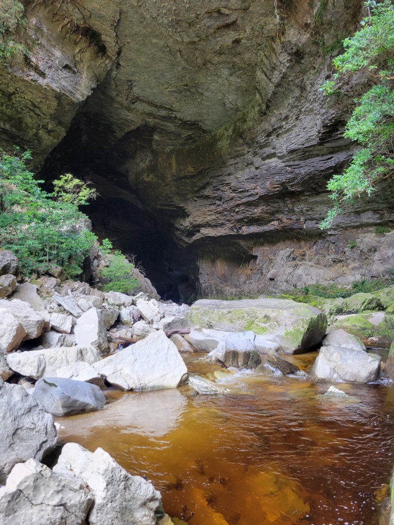
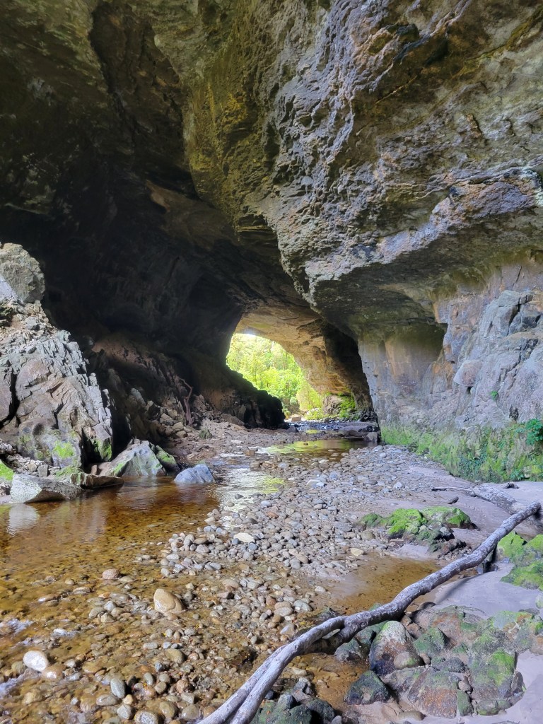
After a leisurely lunch at the trailhead on the Oparara side I set off to see what there was to see. It turns out the attraction there are the huge limestone arches over the Oparara river, and they are in fact stunning. I spent a while scrambling around the rocks, going up and down the river, getting different views of the arch, and eventually met a group of friendly Kiwis who offered to give me a ride back to my car. So instead of a 4 hour walk back I had a nice swim with them and drove over to check out another cave, which turned out to be the coolest one! It was much larger than the Fenian ones and had one passage in particular that you could explore quite deep. There were signs at the entrance talking about cave spiders, but I was skeptical we’d see any, since the signs said they were reclusive. But lo and behold, keeping an eye out paid dividends, and after I spotted the first one the floodgates opened and we must have ended up coming across 5 or 6. They were definitely pretty creepy! Quite large, lit up in the strange light of our headlamps, invariably staying completely still and often with bright bubbles of condensation on their legs and bodies. I really wish I had some pictures to upload here and creep everyone out, but I was tired at the end of the day and figured this would be a short scramble with nothing worth photographing. Lesson learned!

The next day I went back down to Westport, determined to give surfing another try. Lo and behold, I went out three more times and had a blast! I went to a different spot which is a bay where there’s a perfect riptide that goes up one side, so all you have to do is go over there and it pushes you out to the break. You don’t even have to paddle! My kind of surfing… I had fun playing around with the board I rented, which was shorter than what I’ve used in the past, and even managed to just start getting a little bit of the feeling of how to make quick turns.

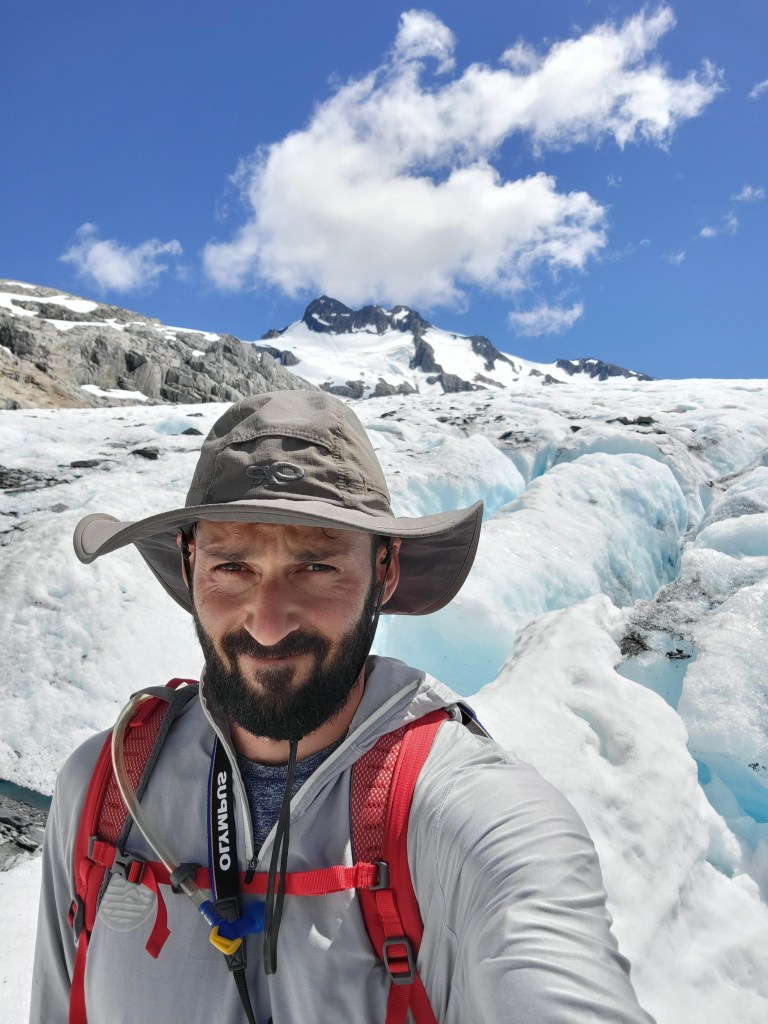
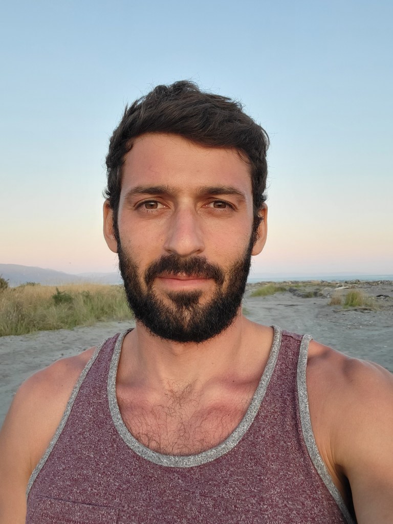
So that’s where we’re at. Yesterday I made it down to the (relatively) large metropolis of Greymouth, and today I’m headed for a free camp near Whataroa, where I’ll be close to the hikes I want to do the next few days. I’ll close with a collection of miscellaneous local flavor and a selfie so you know I’m still alive and still ruggedly handsome. Also, I’m going to start including links to google photos albums where you can see the videos I took for the relevant post, since I’d have to pay to upload videos to this site, and I’m not about that life. They’re not necessarily good, but as with everything else on here, enter at the risk of your own boredom. Here are the videos for this post.

Mount Owen

All the hiking I’ve done so far has been fun in its own right, but I’ve also specifically been trying to keep up a solid pace to build up fitness for huge day hikes. I got into these kinds of hikes when I was road tripping around the states in my lovely hatchback during the summer of 2019. The first taste I had was the incredible 19 mile Dawson/Pitamakan loop in Glacier National Park, and the crowning achievement was the Cactus to Clouds hike in Palm Springs, with Mount Whitney and an easy stroll up Half Dome also on the list (yes, I’m bragging). For whatever reason I seem to prefer these big day hikes to backpacking, probably because I get a bigger sense of achievement from them while also getting to sleep more comfortably and carry a lighter pack up the mountain.

Mount Owen was my first go at getting back to huge hikes. It’s typically summited as an overnight where you stay in one of New Zealand’s famous backcountry huts, but ain’t nobody got time for that. It’s a big day – my watch clocked it at 17 miles and 7,345 feet of elevation, and it took me 11.5 hours. On top of that it’s a pretty funky trail. Rather than just steadily climbing towards the summit, it starts off extremely steep uphill, then plunges extremely steep downhill, and then levels off for a long ways before getting extremely steep again up to the summit. So you have very steep uphill and downhill in both directions, which really gets the heart rate going. All the hiking beforehand did its job though, and I felt reasonably strong throughout.

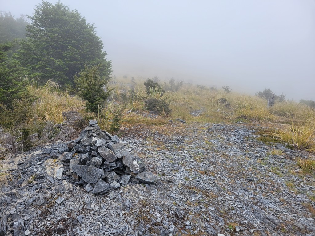
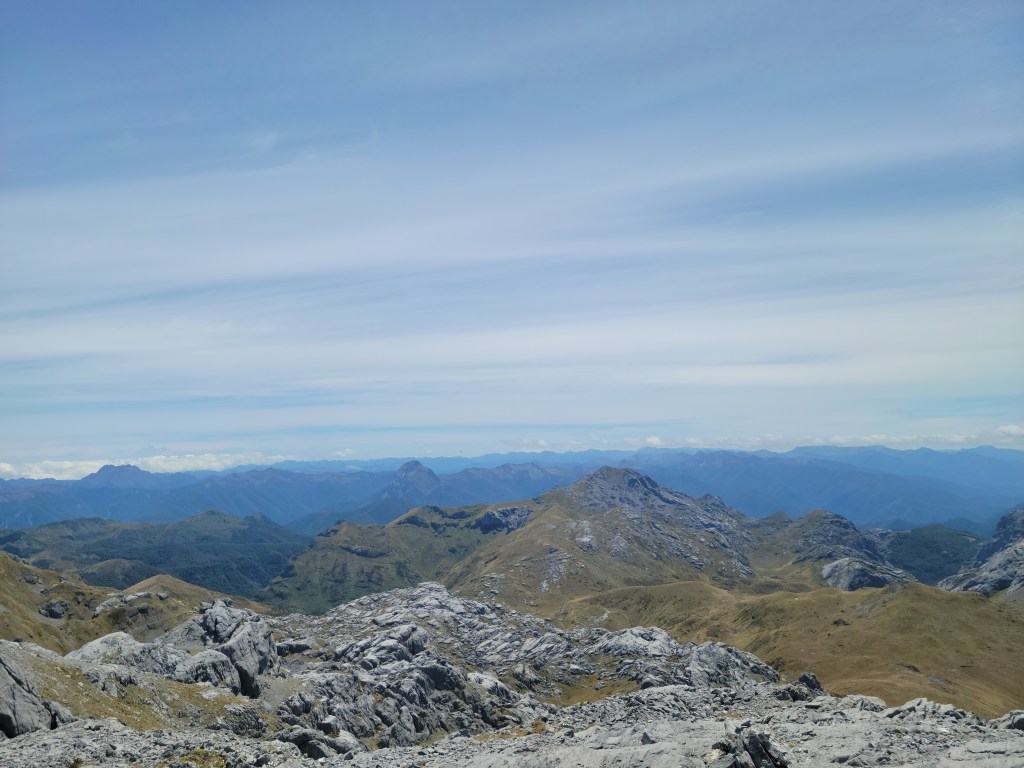
The trail itself is absolutely magical, with maybe the most variety I’ve ever come across on a single trail. Passing through different ecotones as you gain elevation is always a cool part of hiking, and this trail did not disappoint. It started with a steep, difficult, bushwhacking ascent up a ridge, which then flattened out into a bit of a meadow. I started at 6:30am so everything was totally socked in and I was just walking through fog.

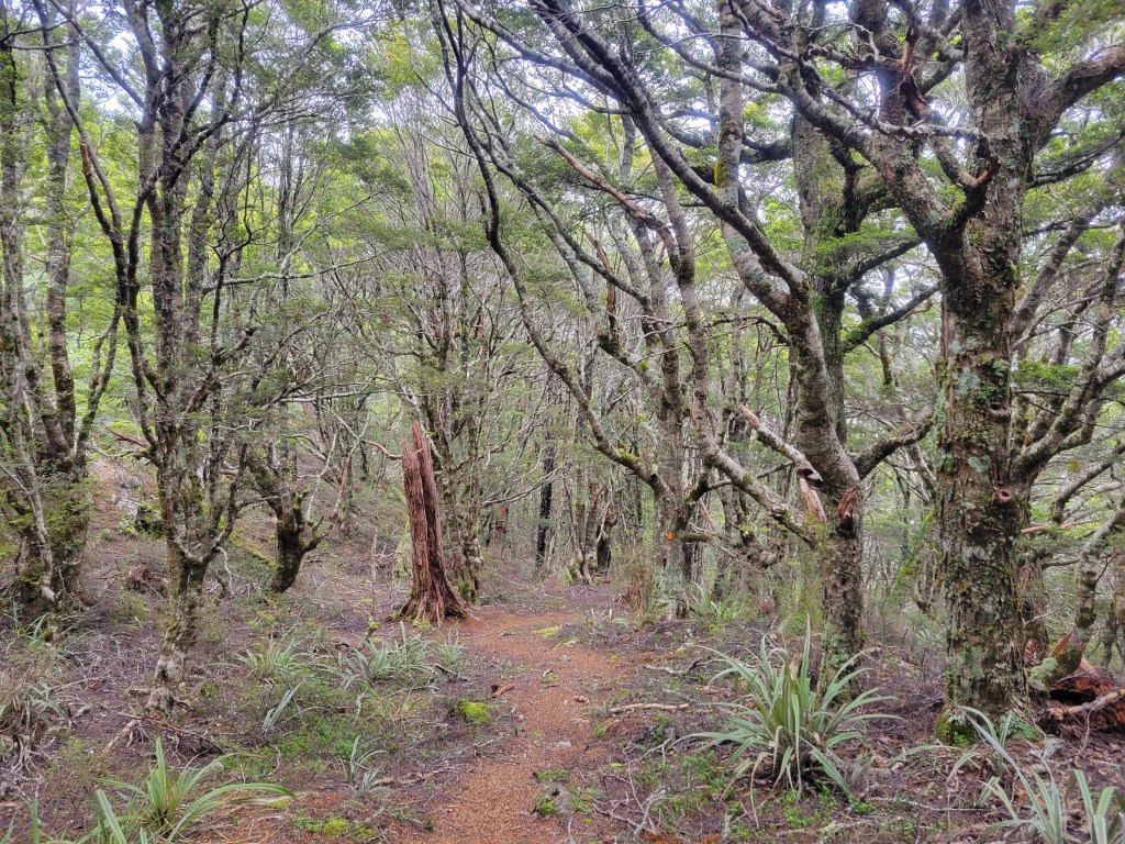
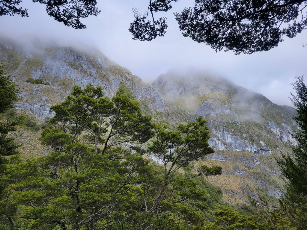
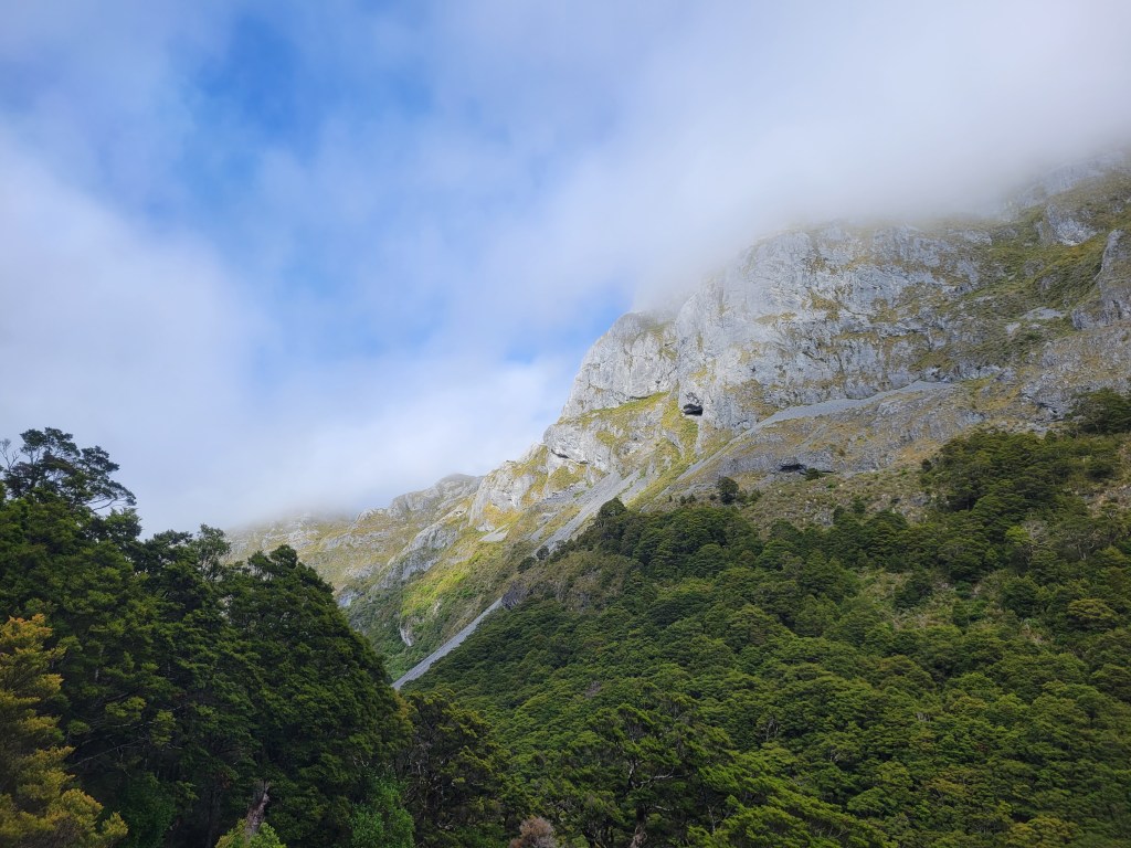
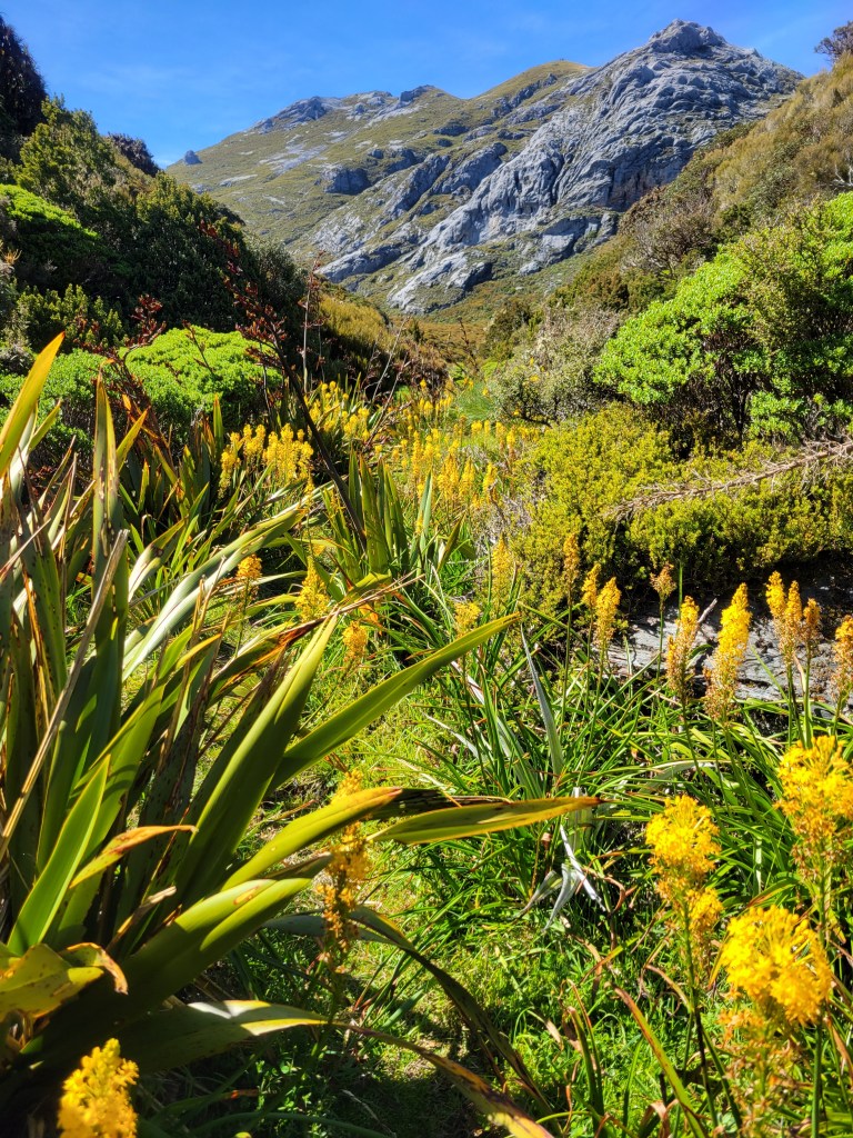
Very soon after that I got into a beautiful forest, and then quickly hit the steep downhill section. On the way down I passed a couple with big backpacking packs coming “down” from the hut, taking frequent breaks as they sweated up this steep section. If I hadn’t already been glad to have a small pack that certainly would have made me appreciate it. After this forested section things began to flatten out and open up a bit, right as the sun started burning off the clouds. I started to catch glimpses of the limestone peaks all around that I’d eventually be climbing.

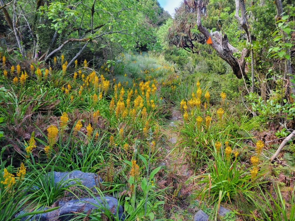
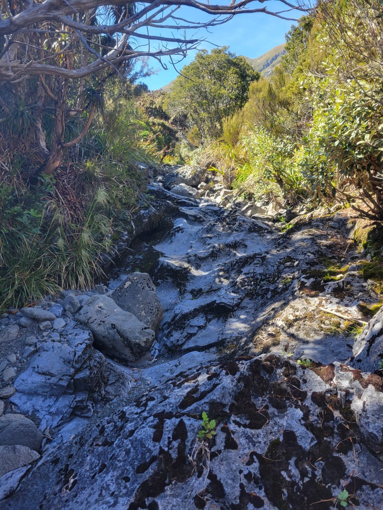
Now the really cool sections of the trail began. First was a transition to what kind of felt like an oasis, with more tropical plants on either side and lots of yellow wildflowers everywhere. The ground was covered in the dead leaves of these plants that look so unusual to me, emphasizing how different this section looked. And then suddenly I was just hopping rock to rock, going up a dry riverbed. This continued for a while before things opened up into alpine meadows and I reached the hut. All the while I was getting more and more views of the limestone mountains all around.

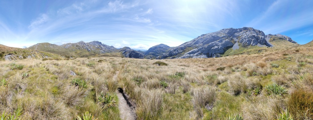
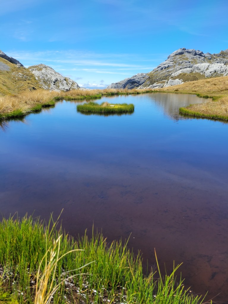
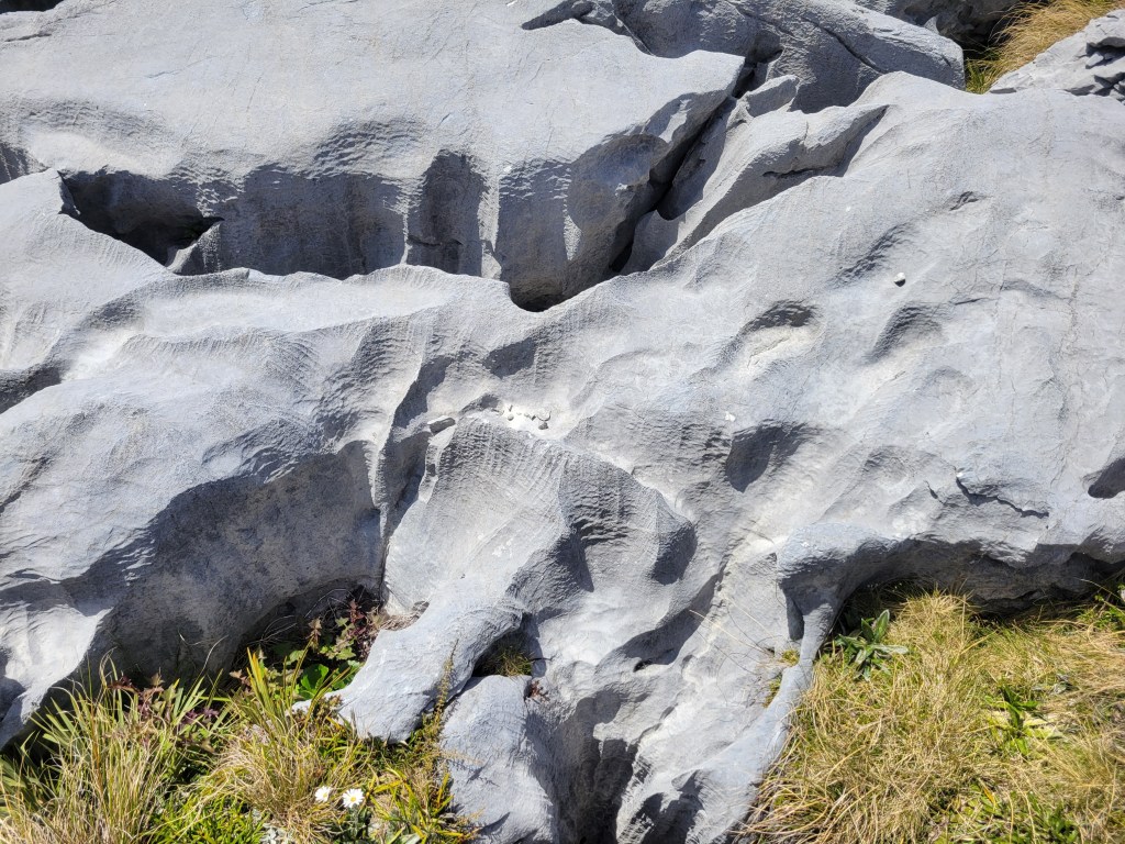
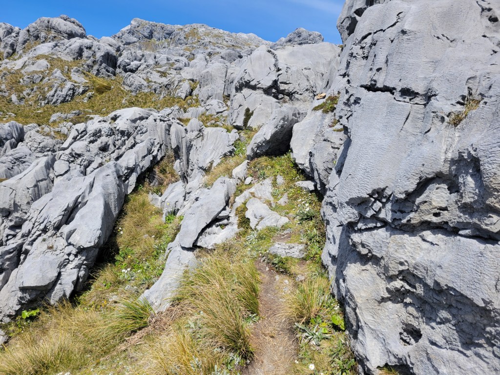
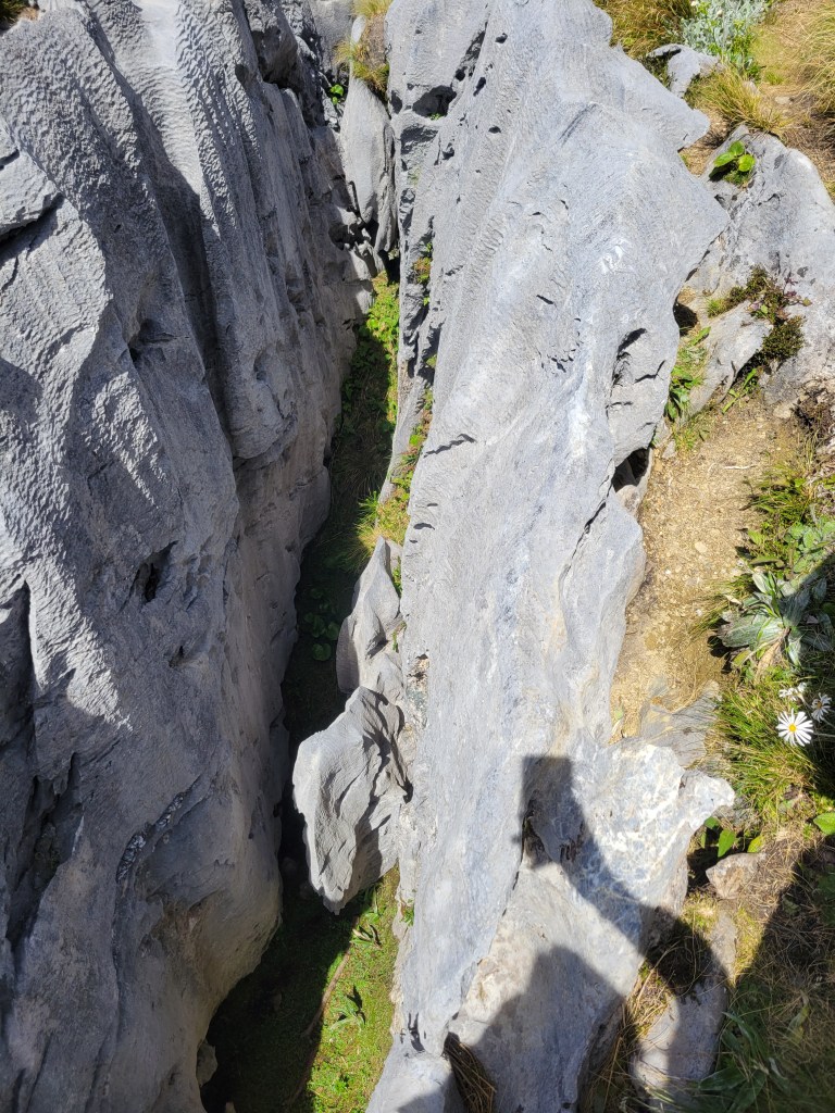
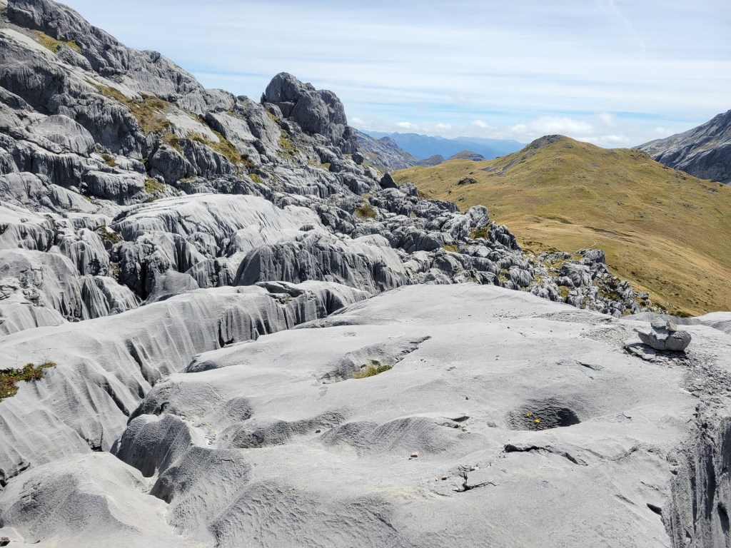
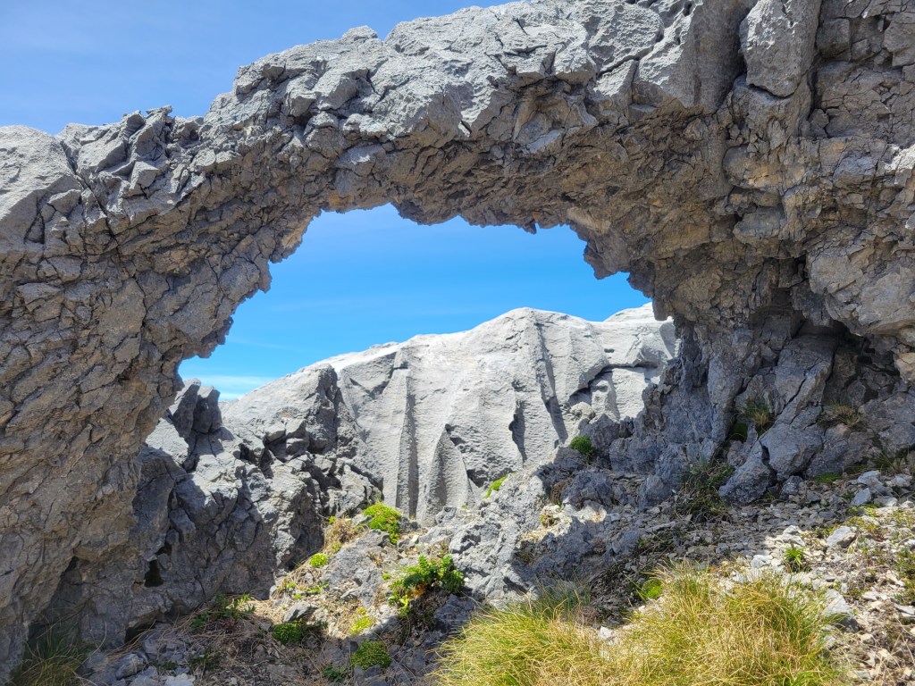
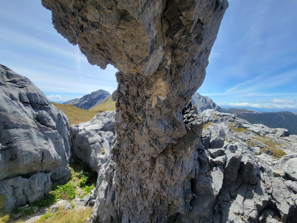
From this point it was like a completely different hike. I was above the treeline cruising through alpine meadows with lovely tarns, including one that had an adorable little island in it. The whole time I was looking up at all the peaks around me, wondering which one I was going to end up climbing, and how. The how turned out to be quite the thing – it’s hard to capture in pictures, but the rocks were amazing, glacier-carved limestone that really looked like flowing water. The trail went from a well maintained path to a series of rock cairns where you pretty much had to just pick your way through the rocks, climbing around and hopping over several quite deep crevasses.

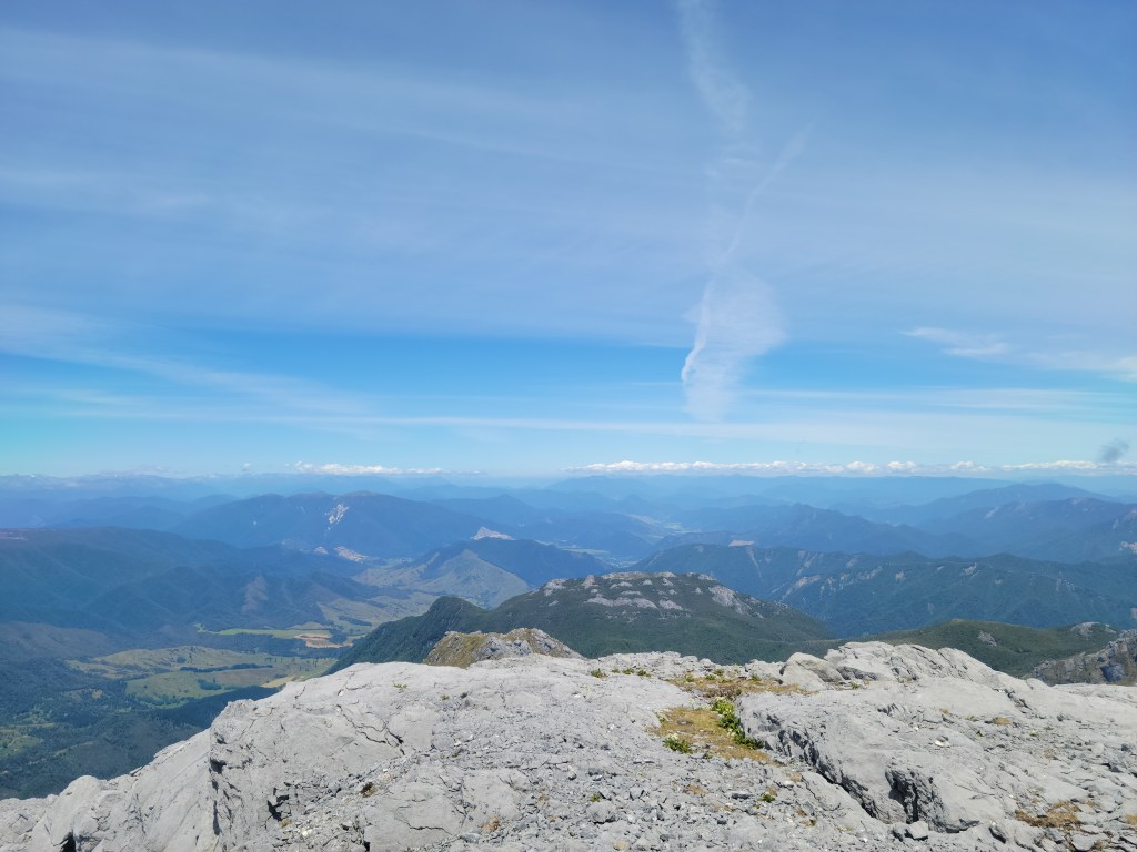
Eventually the rock-hopping stopped and it became a very, very steep scramble up to the summit. And man was it worth it! The top was a mostly flat slab of limestone, and it afforded 360 degree views of mountains in every direction. The sun was out, lunch was on, and man, I felt great.

On the way back I immediately took a wrong turn and spent about 20 minutes scrambling around rocks off track. So that was a good start. I eventually got myself reoriented and managed not to lose the trail again. I really enjoyed how things look different when you’re moving in the opposite direction, and took the chance to snap a few more photos. I also took an alternative route for the very last section, which consisted of a very steep, muddy, tree-crossed, poorly formed trail down along a stream through beautiful forest, and then a flat stroll to the end. I was glad to have done that section on the way down rather than up.

So that was Mount Owen, a hell of day. After that I finally made it over to the west coast and spent a couple of nights in Westport. I bought a camera from a store up in Auckland and am waiting for them to ship it to a hostel in Westport, so I figured I’d spend a few days there surfing to mix things up and give my legs a break. Yesterday I went and rented a board and headed out for a disastrous surf session – I couldn’t get out past the break! I knew I was going to be out of shape, but that was enough of a bummer that it put me off a bit. And as it happens a huge swell was coming in today, so I decided to switch the plan up again and head north up the coast, to the other side of Kahurangi National Park. I’m planning on hiking the next two days and then heading back down to Westport once the swell is more manageable, where I’ll get past the break or die trying!

We’re Back

Greetings from Motueka, New Zealand, on this new year’s day 2023. I wanted to write something witty and poignant to mark the resurrection of this blog after a brief six and a half year hiatus, but I’ve felt no real urgency or inspiration (truly the story of my life), and finally decided just getting something down was better than continuing to put it off. I’d say it was a new year’s resolution or some such, but I’m not here to lie to you.

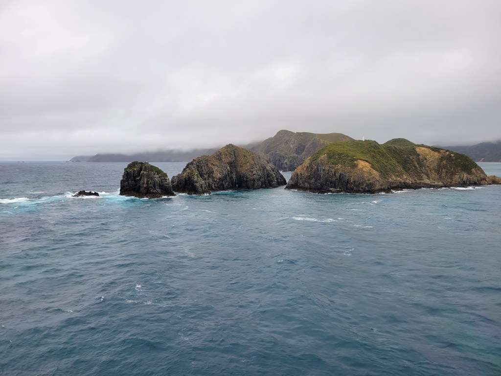
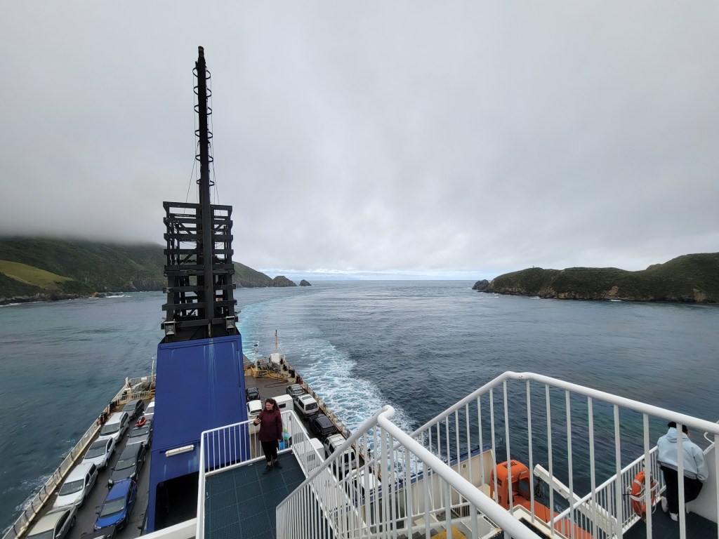
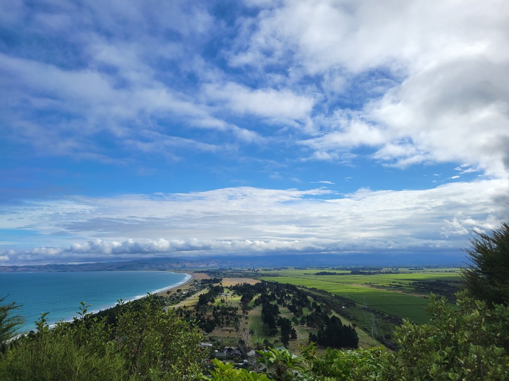
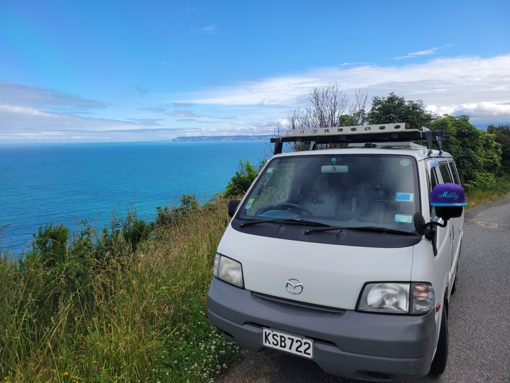
Anyway, I’m back abroad! Right now I’m about a month into a three month stay in New Zealand, living in a van and hiking as much as I can. It’s great. I bought my van, Milly the Mazda, up around Auckland, and then raced down for a lovely ferry ride to the south island. I did a little bit of hiking around the lakes and mountains of Nelson Lakes National Park and then along the beaches of Abel Tasman National Park, mostly sleeping in a parking lot here in Motueka in between. Yesterday I went for my first hike in the mountains of Kahurangi National Park, the Mount Arthur summit. It was a magnificent hike, all clouded in the whole way up, then opening up above the clouds at the summit, and finally sunny all the way down so I could see all the scenery I’d missed during the climb. Everyone on the trail was in a great mood, mostly getting ready to camp out for the new year, and I stopped for a fair few cheerful chats. Scrambling down the beautiful rock outcroppings from the summit I finally felt the giddy, overwhelming feeling of joy and beauty that I’m liable to feel on a really good hike, and that I’ve been hoping to run into in New Zealand. For whatever reason beach hiking doesn’t really do it for me, but from here on out the mountains should only get more dramatic, so I’m looking forward to that.

Huancayo

In a classic bit of Phil psychology, as soon as I hit a stable situation where I was on the internet with a considerable amount of free time pretty much every day I got too lazy to update the blog. Sigh. My time in Huancayo was a bit of a mixed bag. The whole thing was even less organized than I had anticipated – there wasn’t really a program so much as a family that likes to receive visitors and help out in the city. Veronica, the oldest daughter, who mostly organizes things with the volunteers, was out of town for the first 1.5 weeks of my 4 week stay, and I originally got sent off to a school way across town to work with the elementary school PE teacher. Now, I like little kids more than the average bear, but spending 3 hours every morning breaking up fights between 5 year olds was not the volunteering that I wanted to be doing. Later that first week I got myself connected with the English teacher and started helping out with English classes for ages about 12 to 16. The school I was at is a co-ed elementary school and then an all girls high school, and the first 2 questions in almost every single class when I introduced myself were “How old are you?” and then “Do you have a girlfriend?”. There was some awww-ing when I said yes, and now there are a couple of groups of Peruvian girls who know Liv’s name, age, nationality, and job.

Helping out in the classroom was… interesting. I should have been better prepared and am taking it as a learning experience for how to hopefully teach more effectively in the future. I was expecting the teacher to have ideas of how I could best be useful but, with the aforementioned lack of organization, no one had even told her I was going to be coming. The biggest contribution I could really make as a native speaker was in pronunciation so I spent quite a bit of time at the front of the class encouraging the girls to ask me questions about anything and everything and then responding in slow, clear English (which I would fairly often then translate to Spanish). The level of English was mixed, and fairly analogous to my experience in Spanish classes back home – in each class there were 3 to 5 girls who understood everything and spoke quite well, 3 to 5 to maybe 10 girls who hardly understood a single word and couldn’t form a simple sentence, and then about 20 somewhere in between, who, with some coaxing, could put together a sentence with some small mistakes and understood if spoken to very slowly with some repetition. In the end the biggest thing I tried to convey was the need to practice practice practice. My presence was obviously an anomaly but many of the girls, in spite of speaking fairly well, were shy to the point of paralysis. I told them over and over that the only way to speak better was to first speak badly, but just speak. Hopefully at least a couple of them felt inspired.

In the afternoons a couple of kids who went to local schools would come over for homework help/babysitting. A couple of recurring characters were 8-year-old Maria, 9-year-old Yelitsa, 5-year-old Camila, and 4-year-old Alex (those are almost all the characters, in fact). The “homework help” was mostly just telling them over and over to do their homework, and occasionally reading and explaining things for the younger kids. All 4 of them are just painfully adorable though, and I looked forward to putzing around with them every afternoon. Beyond that I got myself into a groove of running every other day, since I was grossly overdue for some exercise, and even though I didn’t really feel like I was getting in much better shape it felt great just to get out and break a sweat. I also spent some time almost every day working on programming, playing with programming languages I don’t know and seeing how much worse of a programmer I’ve become (seemingly not that much worse, but maybe only because I wasn’t any good in the first place…). I decided not to apply for jobs yet because I think the 2-3 week head start on applications isn’t worth the hassle of trying to carry out the process from here, especially since I’m going to be without internet for most of the coming week, but I looked at a ton of postings and bookmarked quite a few so I’m planning to kick off a veritable whirlwind of applications once I get to New York.

Otherwise there was, frankly, not a whole lot going on for my month in Huancayo. The city itself is… fine. It gets very little tourism (in the month I was there I only came across foreigners on 2 occasions) and I can see why – I didn’t find a whole lot to see or do in the city. I enjoyed the main market but otherwise spent most of my time just hanging out at the house or shuttling back and forth to the school. This lack of tourism contributed to one of the harder things about being there. While everyone was perfectly nice to me I didn’t really feel like I connected with anyone, including the family I was staying with. Religion is a common subject and people had a hard time (not in a mean way, more just incredulous) understanding that I don’t believe in god. Also, almost no one I would run into had been far outside of Huancayo, much less Peru. It’s hard to sum up but, more than specific differences in experiences, I just found that there was a fairly consistent mindset in the city that it was very hard for me to connect with on more than a superficial level. This can obviously also be the case while traveling around but it’s much more taxing and isolating when you’ve settled down and are in a routine but still feel out of place all the time.

I did take a couple of small trips while I was in Huancayo. One was to a beautiful monastery in a town called Ocopa, and another was to a city called La Merced, which lies on the edge of the jungle a bit north of Huancayo. The tour I went on in La Merced was pretty funny – it was a terrible tour, all contrived tourist stops and visits to places trying to sell you things, but being the only non-Peruvian on the tour made it more “funny to watch how the Peruvian tourists are” rather than “ugh I feel terrible for being a gringo and doing this to people”. It’s really just tourists that suck more than gringos. The area was absolutely beautiful though – the density of different plant species is astounding and I could just stroll around looking at the dark green all day.

A blast from the future now – I’m actually sitting in the Lima airport about to board my flight to the US (!). After Huancayo I went to Cusco for a short backpacking trip and to check out the city a bit more, and then I had a day and a half here in Lima. I’ll put up another post about my trekking to Choquequirao soon, and then try to think up some Deep Thoughts for a retrospective of my whole trip. And then that’ll be that!

Cusco and the Salkantay

Cusco is beautiful. I mean really, picture-book, postcard, tourism advertisement beautiful. I stayed in a hostel a little ways up the hill next to the Plaza de Armas, the main square, with a terrace that looked out across the city. It’s all spanish tile roofs, narrow cobblestone streets, and giant, impressive red cathedrals, surrounded on all sides by mountains. The Mercado San Pedro, the main market, is chock full of sights and smells – every part of every dead animal you can imagine (no lie, I saw a guy pull up and unload a station wagon piled full of just cow heads, tongues cartoonishly sticking out the sides of their mouths), sections of dried fruits and nuts, brightly colored fruit and vegetable stands, handicrafts, and more. There are tons of cute little plazas everywhere you go, and the city is surrounded on all sides by mountains. I was really swept away by the visual when I arrived and am thinking hard about going back – I didn’t even make it to the famous ruins of the sacred valley! I did have the luck of stumbling onto a food fair on the Sunday that I was there, and I got to try Cuy, the famous guinea pig that’s eaten here. It was… meaty, I didn’t find it spectacular one way or the other, but it was also unfortunately cold since it had been prepared early for this food fair. I’ll be trying it again sometime.

The reason I didn’t see the ruins around Cusco is because I was in a hurry to get to Huancayo and start volunteering and I had my heart set on doing the Salkantay trek up to Machu Picchu beforehand. The Inca Trail is the famous trek to Machu Picchu but it has significant drawbacks – it costs upwards of $500 and you have to reserve 6-9 months in advance. This was obviously going to be impossible for me and so I had resigned myself to just taking a bus out to Machu Picchu rather than doing a trek. Somewhere along the way, though, people had told me about the Salkantay, which is a less-traveled but still gorgeous route up to Machu Picchu, and which can be reserved just the day before for $160-230, depending on whether or not you want to take the train back. This turned out to be a great decision.

The treks up to Machu Picchu are a deluxe affair. There are horses to carry your stuff, porters that run ahead to set up the tents, and cooks to whip up full meals. Our guide, Hilton, was delightfully laid back, often smirking as he delivered silly jokes in an accented drawl. And the scenery, especially on the first two days, when you trek in the shadow of Salkantay mountain, is spectacular. After that, as you drop to lower elevation, the vegetation changes dramatically, with temperatures rising and brightly colored flowers popping out everywhere. Hot springs at Santa Teresa were a highlight, and the famous 2 hour walk along the train tracks from Hidroelectrica to Aguas Calientes, the town at the foot of Machu Picchu, was a delightful, peaceful stroll through tropical vegetation. After that we had a bit of time to check out Aguas Calientes before hitting the hay earlier so as to get up and out the door by 4:30 to climb the thousands of steps up to the ruins. I worked up quite a sweat… Machu Picchu itself is impressive – it’s a huge complex of ruins on top of a sizable mountain, and the work that must have gone into building it boggles the mind. To me, what really puts it over the top is the surrounding scenery, all towering peaks completely covered in dark green tropical vegetation. It’s stunning, and we got especially good luck, with clear skies for sunrise followed by a rush of fog as the rising temperatures sent the clouds that had been down in the valley shooting skyward. I walked through the ruins, hiked out to the Sun Gate, where you get a beautiful faraway view, and strolled out a little ways to look at the Inca bridge. It was really a great day, even if the 6 hour ride back to Cusco was… uncomfortable.

Back in Cusco I called it an early night since I had been up since 4am. The next day I had a delicious, giant, American-style breakfast at a place called Jack’s and then went to the San Pedro market to get some snacks and stroll around. At 6pm I had the first leg of my trip to Huancayo – a 21 hour bus ride to Lima. I splurged on an extra-wide, extra-reclining seat on one of the nicer bus companies, which was a good decision, but the first many hours of the trip are all hairpin turns winding through the mountains so it’s hard to sleep no matter what the seat is like. I got in to Lima around 3pm and had until 11:45pm before my 7 hour bus ride to Huancayo so I took a walk down to Miraflores, a beautiful neighborhood by the sea that’s popular with tourists. A fancy club with loads of clay tennis courts right in the middle of the city caught my eye, as did the Parque del Amor (park of love – come on, you knew that…). After seeing the sunset through the gigantic statue of a couple making out at the Parque del Amor – by myself, so sad – I splurged on a delicious seafood dinner and then headed back to the bus. Lima isn’t known as one of the culinary capitals of South America for nothing, and I’m excited about going back for some more food before I fly to New York. The 7 hour bus ride to Huancayo was uneventful – I slept the entire time – and I haven’t had much trouble settling in here. I’ll be back soon with an update on life here in the Mantaro Valley!

La Paz and Copacabana

Based on what I’d heard I wasn’t expecting much at all from La Paz. People had told me, or I had read, that it’s dangerous, dirty, and generally just not that great. I was pleasantly surprised, then, to find a city surrounded by mountains, with cheap fresh fruit in the street, beautiful old buildings, cute narrow roads, and a generally safe and bustling atmosphere, at least as far as I could tell. Jess, Maria, Anatole and I got in early in the morning and went straight to bed. Around noon we headed out to stroll around and see what we could find. We stumbled onto a market of sorts which was really just a bunch of people set up in the street, without stands or anything, selling all manner of fruits and vegetables. One advantage of traveling with a group is that it’s easier to buy food and cook it yourself, and we ended up buying eggs, cheese, beets, potatoes, carrots, avocado, oranges, papaya, chirimoya, and at least a couple of other things I can’t remember. After wandering around a bit more we headed back to the hostel and made lunch, which slowly turned into dinner as we realized there was only a single burner and it was going to take a while to cook the giant pot of potatoes and beets that we had. It was delicious though and I very contentedly stuffed myself with beets.

The next day we wandered again, finding a set of food stands where the locals got lunch. I got myself a plate of kidneys for about a dollar, and a lunch menu with soup and a main dish was about $1.25. Crazy. We then strolled over to the big park in the middle of town and worked our way up to a high lookout point, where you got a great view of La Paz wedged into the valley. On the walk back it started pouring right as we got to the plaza with all the impressive government buildings, so we took shelter for a while and then hopped in one of the many colorful buses back to the hostel, where we whiled away the afternoon. Right as we were getting back to the hostel we ran into Eugene, whom I had met way back in El Chalten, Argentina. We stayed in touch and had planned to meet up in La Paz but I wasn’t expecting to actually just run into him in the street outside of our hostel (not so strange – I told him where we were staying…). That night Eugene, Anatole, and I wanted to check out El Alto, which is the larger, poorer part of La Paz (or actually might be its own city bordering La Paz) that stretches out on the plateau above. We walked over to the shiny new cable car station and paid our 50 cents for the ride up. We started chatting with two young women in our car and they ended up showing us around El Alto, helping us wind through the streets filled with hawkers and taking us to an arcade, where we played air hockey for a while. El Alto is reputed to be even more dangerous than La Paz so I was a bit on edge, especially when Eugene and I agreed that a guy in the arcade had been watching our group a bit too intently for a while. We told the girls we wanted to go and the walk out was a bit tense but we didn’t see our admirer anymore and later decided he was probably drunk and just looking at either the girls, the gringos, or both. After a dinner of fried chicken, spaghetti, rice, and fries (seriously – that’s a standard dinner) we said our goodbyes and headed back down to La Paz. In our earlier conversations Eugene had told me about the Death Road, which used to be a functional road but which is now used almost exclusively for tourists on mountain bikes to drop 3,000 vertical meters down a gravel road in a matter of a couple of hours. It sounded pretty fun to me so we did it the next day, and sure enough, it was. With a bit of caution it really isn’t very dangerous but you can certainly get going pretty fast and it was a hell of a good time.

Eugene had also told me about Huayna Potosi, a snowcapped mountain just outside of La Paz that you can climb in 2 or 3 days. He wanted to do it and, after some waffling, I decided to join him, so we set out the day after the death road. We did the 2 day climb, which is actually more of a 24 hour excursion. We left La Paz in the early afternoon and drove right up to the base camp in a beat up old station wagon. From there we walked over to a nearby glacier and did some basic practice with crampons and ice axe, and then hiked about 2-3 hours up to high camp, at an elevation of 5,200 meters. We got there around 6, had dinner, and then went straight to bed. After an hour or two of sleep and several more of just lying there we got the wakeup call around midnight. The climb is done at night because the sun is very strong and starts loosening up the snow as soon as it comes out, increasing the risk of avalanche as the day goes on. So we set off at 1am to get to the top around 7am, walking a short section of rock before getting to the snow and pausing to put on crampons, get out ice axes, and put on harnesses to tie ourselves to our guides. After that it was just up, up, and up, mostly shuffling in a zig zag up the slope, with one particularly hard exception being the ice chute type thing we had to actually climb up. I had never tried to exercise at altitude like this before so I didn’t necessarily have any concrete expectations but I can safely say it was harder than I thought. At the section just before the summit, which was very steep and all loose snow where you would step up and slide halfway back down, I could hardly take more than 5 steps in a row before I was completely winded, needing to stop and suck in huge breaths. So that was an interesting experience. I had a couple of moments where I thought I should just turn around, but luckily when I finally asked Mario, my guide, how much farther we had to go, he pointed to the top of the section we were climbing and said that was the summit. And man, what a feeling it was to get to the top. The sun had just risen and across the other side of the mountain was a huge flat expanse, with a giant lake that Mario told me was Lake Titicaca. Looking back towards where we had come from showed an awe-inspiring landscape of mountains all around. I felt a hell of a sense of achievement as well. As soon as Eugene told me about it I got excited about my first experience above 20,000ft – cruelly, I later found out that the top is at 6,088m, which is, I kid you not, 19,973.75ft. I didn’t even have to look that up again when I wrote this post, the number is fixed in my brain. But really, I kid (not about the elevation, that’s true) – the sense of achievement is real, and the climb was amazing. I’ll come back another time for 20,000ft.

After coming down from the mountain all I wanted was a quiet room to shower and sleep, which is exactly what I found. The next morning I slept in and packed, Eugene and I grabbed lunch, and then we caught the cable car over to the cemetery, where we admired the memorials for a while and then I hopped on a bus to Copacabana. This turns out to be the original Copacabana, rather than the famous beach in Rio, and it sits on the edge of Lake Titicaca on the Bolivian side. It’s a cute, small, touristy town, where the main attraction is cruising around Lake Titicaca, specifically to the Isla del Sol, or Island of the Sun, The Incas apparently believed this was the birthplace of the Sun, one of their most important gods. It’s a big island out in the middle of the lake with some truly beautiful beaches, ruins, and a nice 3 hour walk from the north end to the south end, which is what I did. I met Quinnen, a woman from Boston who’s working as a tour guide for an American company currently giving luxury tours to Machu Picchu, in Copacabana, and we walked around the Isla del Sol together for a while before splitting up because I had to run to catch my boat back and she was staying for a couple of days at an idyllic, secluded beach on the island. Rough life… That night I got on a bus and headed out for the 11 hour ride to Cusco.

Bolivia was great. I didn’t get to see nearly as much of the country as I would have liked but I sure enjoyed what I did see. The south, with its volcanoes, sweeping desert, and of course the salt flat, is truly striking and unique. La Paz is a bustling city between beautiful snowcapped mountains, and Lake Titicaca is a huge, tranquil resting spot. I’m not sure when but I will definitely be back to check out the jungle and other parts of the country. Now it’s on to Peru, which is going to be the last country I visit before heading back to the good old US of A. I bought a ticket from Lima to New York leaving June 7th, so after my week in Cusco I’ve got 4 weeks volunteering in Huancayo, then about 8-9 days to see… something, and then that’s all folks!

San Pedro to Uyuni

If I could only recommend one single activity from this trip, the tour I took through the south of Bolivia would be high on the list. We left San Pedro de Atacama, in Chile, in a bus and headed for the Bolivian border. After clearing immigration we were split into groups of 6 and assigned to a guide and his Toyota Land Cruiser (so many Land Cruisers) for the remainder of the tour. My group had two Brazilian women, two American women who were traveling around together after graduating, a German guy, and me, and our guide was Abner, a 22 year old who’s been guiding this tour for 3 years now (!). During the first day’s drive we got up over 15,000 feet before slowly making our way to lower elevation. Luckily I didn’t have too much of a problem with the elevation, just a bit of a headache. Our first stops were at two lakes/lagoons, the white one (because of it’s borax deposits) and the green one (because of its mix of copper and arsenic, if I remember correctly). The lakes were pretty, framed by stark desert and massive volcanos, and the colors were fairly accurate. Most of the driving on this first day was through wide open expanses of desert with mountains on either side and it was pretty damn impressive. After the lakes we went to Dali’s desert, where volcanic rocks stick up haphazardly from a huge expanse of sand. The pictures don’t do it justice but you really could see where the name came from. Next we pushed on to some hot springs, which were a welcome sight since the early morning desert at elevation is really damn cold. To be fair, by this time the sun had been out for a while and it was pretty hot. After the hot springs we saw some very cool geysers, with huge pits full of boiling grey mud. The last stop was the Laguna Colorada, with it’s red and white patches, and then we stayed at a hostel right nearby.

Day 2 saw us up and at ’em to drive through the Siloli Desert before getting to our first main attraction, the rock tree. It’s a volcanic rock formation that really does sort of look like a tree, and it sits next to a ton of other huge volcanic rock formations in the middle of the desert, which makes for a striking scene. After that we saw another couple of lagoons, had lunch next to a particularly beautiful one, and then set up at a viewpoint to watch a semi-active volcano slowly puff smoke into the sky.

Day 3 was the payoff! We got up at the crack of dawn (kidding, before dawn) and headed off at 5 to drive across the salt flat to Isla Incahuasi (or Isla del Pescado), a cactus-covered island out in the middle of a perfectly flat ocean of salt. The whole drive was in the dark and Abner turned off all of the lights a couple of times, since the route is flat as a pancake, which gave us the surreal experience of speeding along at 40 or 50 miles an hour in complete darkness. Once we got to the island we went for a short hike up to the top where we were treated to an absolutely stunning sunrise, all different shades of pink, orange, and yellow breaking over the mountains in the distance and slowly lighting up the white plain. We then headed down for breakfast before driving way out into the middle of the flats to admire the view and take ridiculous perspective pictures. After that we headed to Uyuni, where the last attraction was the train graveyard, bunches of rusty old locomotives lined up against a desert backdrop.
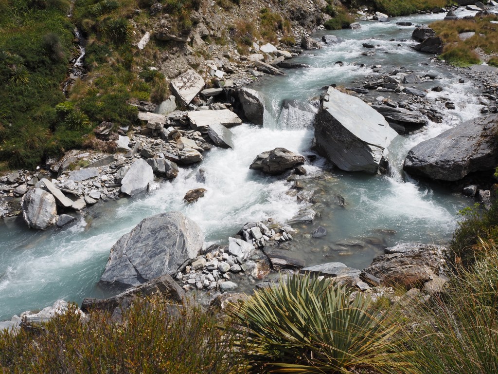
This whole tour was one of the best things I’ve done all trip. I got lucky with the group and the guide but there is no way to go wrong with the south of Bolivia – it is truly one of the most beautiful and unique places I’ve ever seen. Mountains, desert, lakes, and salt together all make up an unbelievable set of scenery. I very, very highly recommend it to anyone who’s thinking of visiting.

After the tour the two American women (Jess and Maria), the German guy (Anatole), and I all decided we’d head to La Paz together on an overnight bus that same day. We spent the afternoon strolling around Uyuni, catching up on our internet needs, and grabbing some cheap food, and then headed to the bus station. I’ll write a separate post about La Paz but the short version is that I really enjoyed it.

We’ll fast forward quickly now for a present day update. It’s been an action packed couple of weeks so I’m woefully behind on the blog. After Uyuni I spent almost a week in La Paz, which included biking down the death road and then climbing a veeeeeeeery nearly 20,000 ft tall mountain. I then headed to Copacabana, on the shore of Lake Titicaca, to see the lake and tour the Island of the Sun, where the Incas believed the sun came from. Last night I took an overnight bus to Cusco, and tomorrow morning at 5am I’ll be starting the 5 day Salkantay trek (with porters and cooks, don’t worry about me straining myself…) up to Machu Picchu. I’ve heard great things about the Salkantay (it’s apparently like the Inca Trail but costs a third as much and you can reserve the day before instead of 6 months in advance) so I’m really excited to do it, and I’ll be back to give you a rundown of it, and catch up on previous adventures, in 5 days. After that I’ve got one night here in Cusco and then back to back 22 and 7.5 hour bus rides to get to Huancayo, where I’ll start volunteer teaching English on May 2nd. So, not a lot of sleep in the forecast for the next week, but I’m very excited to get to Huancayo, settle in, get to know some people, and hopefully help some kids learn English. I’ll keep you posted!